Birmingham Botanical Gardens, Birmingham
Map

Map

Facts and practical information
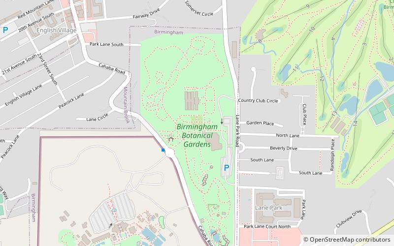
The Birmingham Botanical Gardens is 67.5-acre of botanical gardens located adjacent to Lane Park at the southern foot of Red Mountain in Birmingham, Alabama. The gardens are home to over 12,000 different types of plants, 25 unique gardens, more than 30 works of original outdoor sculpture, and several miles of walking paths. With more than 350,000 annual visitors, the Birmingham Botanical Gardens qualify as one of Alabama's top free-admittance tourist attractions. ()
Created: 1963Visitors per year: 350 thous.Elevation: 699 ft a.s.l.Coordinates: 33°29'27"N, 86°46'34"W
Day trips
Birmingham Botanical Gardens – popular in the area (distance from the attraction)
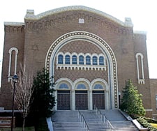
Nearby attractions include: Vulcan statue, Birmingham Zoo, Third Presbyterian Church, Red Mountain Expressway Cut.
Frequently Asked Questions (FAQ)
Which popular attractions are close to Birmingham Botanical Gardens?
Nearby attractions include Lane Park, Birmingham (8 min walk), Birmingham Zoo, Birmingham (9 min walk), Redmont Garden Apartments, Birmingham (10 min walk), Mountain Brook Estates Building, Birmingham (11 min walk).
How to get to Birmingham Botanical Gardens by public transport?
The nearest stations to Birmingham Botanical Gardens:
Bus
Bus
- Birmingham Zoo • Lines: 43 (3 min walk)
- NW Corner of Cahaba Rd & Aberdeen Rd S • Lines: 43 (17 min walk)


