Red Mountain Expressway Cut, Birmingham
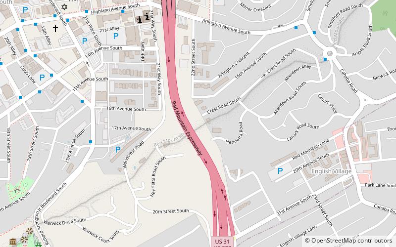
Map

Gallery

Facts and practical information
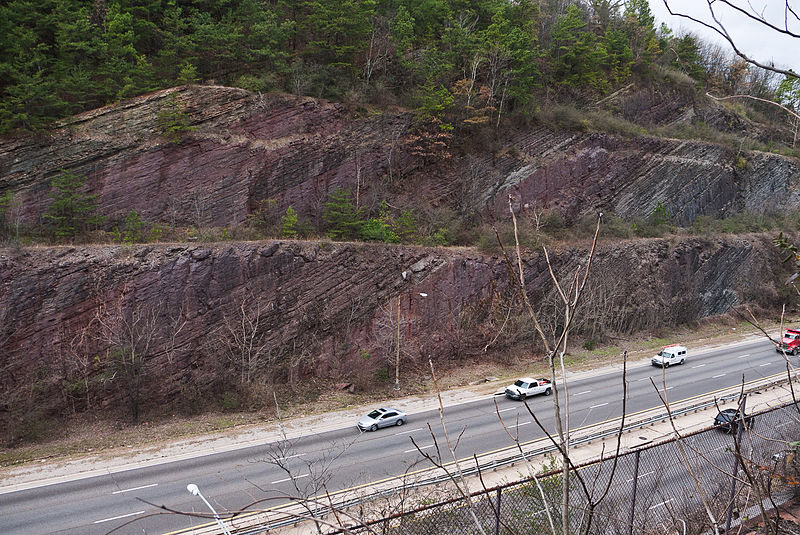
The Red Mountain Expressway Cut, also known as the Red Mountain Geological Cut, is a section of Red Mountain that was blasted and removed in the 1960s to allow the Red Mountain Expressway to enter downtown Birmingham, Alabama. This highway links Birmingham with its southern suburbs of Homewood, Mountain Brook, and Vestavia Hills. It has spurred suburban growth towards the south of Birmingham. This section also provides the route for U.S. Route 31 to the south and US 280 to the southeast. ()
Elevation: 997 ft a.s.l.Coordinates: 33°29'46"N, 86°47'17"W
Day trips
Red Mountain Expressway Cut – popular in the area (distance from the attraction)
Nearby attractions include: Vulcan statue, Birmingham Zoo, Rotary Trail, Birmingham Botanical Gardens.
Frequently Asked Questions (FAQ)
Which popular attractions are close to Red Mountain Expressway Cut?
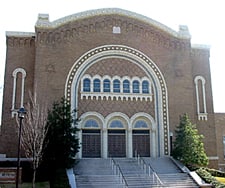
Nearby attractions include Temple Beth-El, Birmingham (8 min walk), Temple Emanu-El, Birmingham (12 min walk), Redmont Garden Apartments, Birmingham (13 min walk), Vulcan statue, Birmingham (14 min walk).
How to get to Red Mountain Expressway Cut by public transport?
The nearest stations to Red Mountain Expressway Cut:
Bus
Train
Bus
- NW Corner of 20th St S & Abbey Rd • Lines: 42 (7 min walk)
- SE Corner of Highland Av S & 21st Pl S • Lines: 12, 43 (9 min walk)
Train
- Birmingham (41 min walk)


