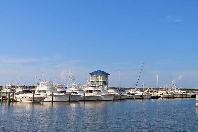
Bay St. Louis Municipal Harbor, Bay St. Louis
Gallery (1)
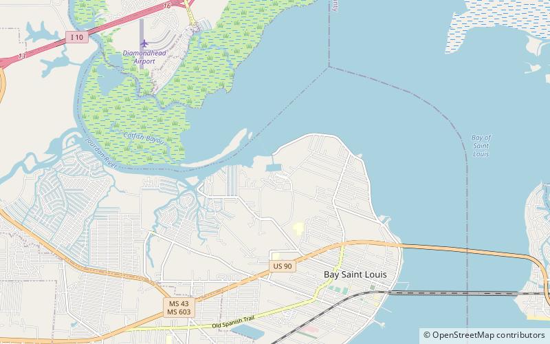
Map
Map
Facts and practical information
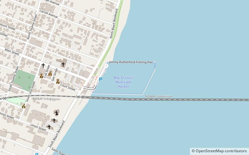
Bay St. Louis Municipal Harbor (address: 100 Jody Compretta Dr) is a place located in Bay St. Louis (Mississippi state) and belongs to the category of sailing, marina.
It is situated at an altitude of 0 feet, and its geographical coordinates are 30°18'38"N latitude and 89°19'23"W longitude.
Among other places and attractions worth visiting in the area are: Alice Moseley Folk Art and Antique Museum (museum, 18 min walk), Hollywood Casino Gulf Coast (nightlife, 65 min walk), Waveland (city, 85 min walk).
Coordinates: 30°18'38"N, 89°19'23"W
Day trips