9th and 9th, Salt Lake City

Map
Facts and practical information
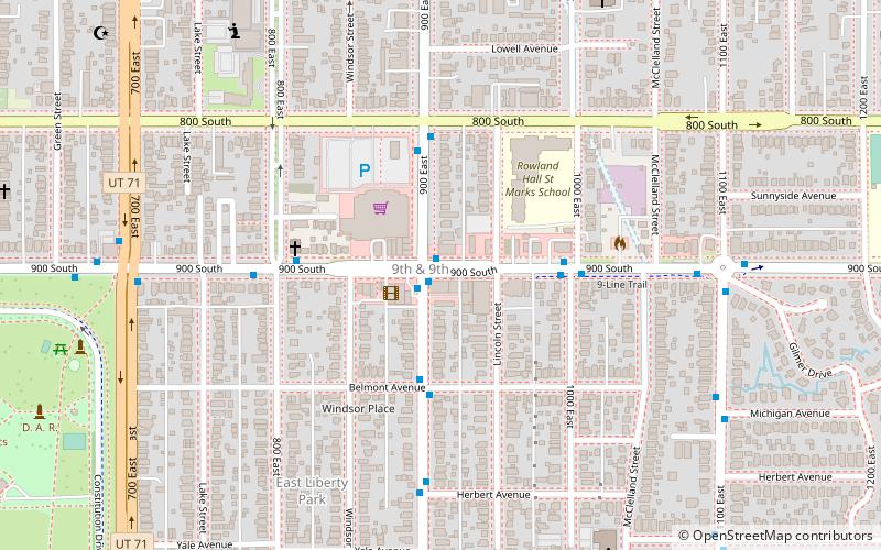
9th and 9th is a neighborhood in Salt Lake City, Utah located two blocks east of Liberty Park. The area gets its name from the intersection of 900 South and 900 East. ()
Coordinates: 40°44'59"N, 111°51'54"W
Address
Central Salt Lake City (East Liberty Park)Salt Lake City
ContactAdd
Social media
Add
Day trips
9th and 9th – popular in the area (distance from the attraction)
Nearby attractions include: Liberty Park, Rice-Eccles Stadium, Trolley Square, Gilgal Sculpture Garden.
Frequently Asked Questions (FAQ)
Which popular attractions are close to 9th and 9th?
Nearby attractions include Lefler-Woodman Building, Salt Lake City (1 min walk), Liberty Park, Salt Lake City (14 min walk), Keyser–Cullen House, Salt Lake City (17 min walk), Artesian Well Park, Salt Lake City (17 min walk).
How to get to 9th and 9th by public transport?
The nearest stations to 9th and 9th:
Light rail
Bus
Light rail
- 900 East • Lines: 703 (20 min walk)
- Trolley • Lines: 703 (23 min walk)
Bus
- U President's Circle • Lines: 220, 9 (32 min walk)
- Central Campus Drive @ 260 S • Lines: 21 (38 min walk)


