Logan Square, Philadelphia
Map
Map

Facts and practical information
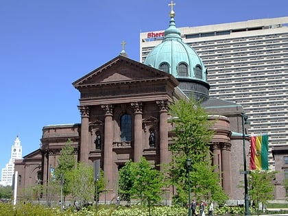
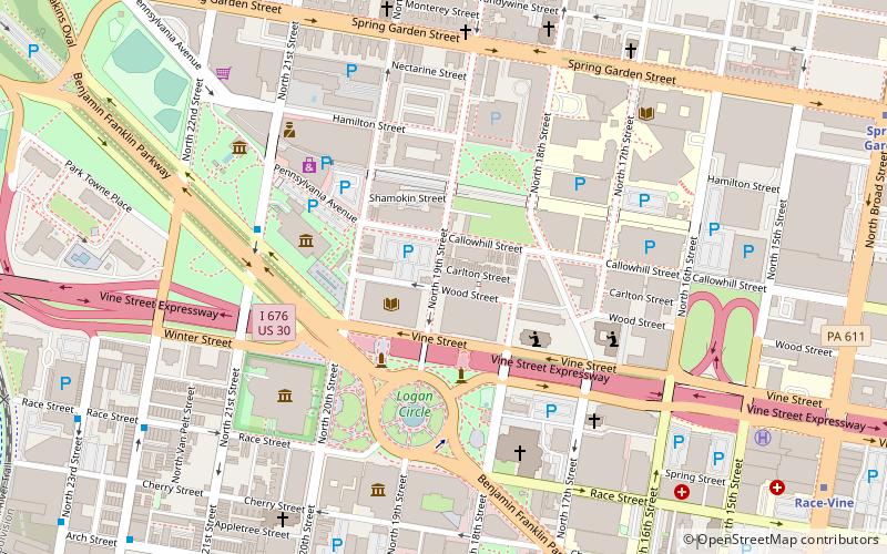
Logan Square is a neighborhood in Philadelphia. Bounded by Market Street on the south, Spring Garden Street on the north, Broad Street on the east, and the Schuylkill River on the west, it occupies the northwest quadrant of Center City. The square for which it is named is one of the five "squares", or parks, central to William Penn's design for Philadelphia. Originally called Northwest Square, it was renamed in honor of James Logan, an eighteenth-century mayor of Philadelphia. ()
Coordinates: 39°57'36"N, 75°10'12"W
Address
Center City (Logan Square)Philadelphia
ContactAdd
Social media
Add
Day trips
Logan Square – popular in the area (distance from the attraction)
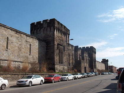
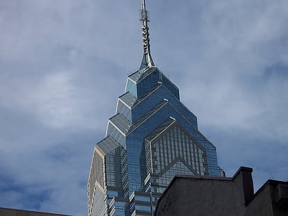
Nearby attractions include: Barnes Foundation, Rodin Museum, Eastern State Penitentiary, Liberty Place.
Frequently Asked Questions (FAQ)
Which popular attractions are close to Logan Square?
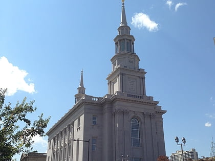
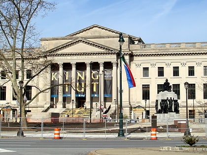
Nearby attractions include Free Library of Philadelphia, Philadelphia (2 min walk), Matthias Baldwin Park, Philadelphia (4 min walk), Philadelphia Pennsylvania Temple, Philadelphia (4 min walk), All Wars Memorial to Colored Soldiers and Sailors, Philadelphia (4 min walk).
How to get to Logan Square by public transport?
The nearest stations to Logan Square:
Train
Metro
Tram
Bus
Train
- Suburban Station (11 min walk)
- Philadelphia 30th Street Station (18 min walk)
Metro
- Race-Vine • Lines: Bsl (12 min walk)
- Spring Garden • Lines: Bsl (13 min walk)
Tram
- 19th Street • Lines: 10, 11, 13, 34, 36 (12 min walk)
- 22nd Street • Lines: 10, 11, 13, 34, 36 (14 min walk)
Bus
- Walnut St & 19th St • Lines: 12, 9 (18 min walk)
- Broad St & S Penn Sq • Lines: 27, 4 (18 min walk)

 SEPTA Regional Rail

