Philadelphia Pennsylvania Temple, Philadelphia
Map
Map

Facts and practical information
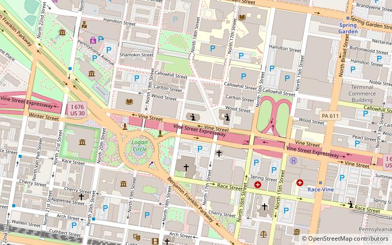
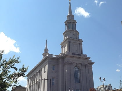
The Philadelphia Pennsylvania Temple is a temple of The Church of Jesus Christ of Latter-day Saints in the Logan Square neighborhood of Philadelphia. Completed in 2016, the intent to construct the temple was announced on October 4, 2008, during the church's 178th Semiannual General Conference by LDS Church president Thomas S. Monson. The temple is the church's first in the state of Pennsylvania, and the first temple between Washington, D.C. and New York City. ()
Address
Center City (Logan Square)Philadelphia
ContactAdd
Social media
Add
Day trips
Philadelphia Pennsylvania Temple – popular in the area (distance from the attraction)
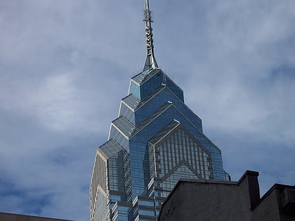
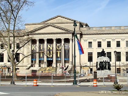
Nearby attractions include: Barnes Foundation, Liberty Place, Franklin Institute, Logan Circle.
Frequently Asked Questions (FAQ)
Which popular attractions are close to Philadelphia Pennsylvania Temple?
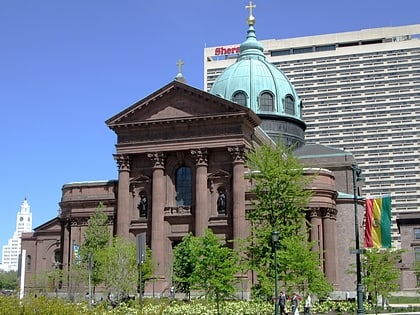
Nearby attractions include Saint Anne Church, Philadelphia (3 min walk), Cathedral Basilica of Saints Peter and Paul, Philadelphia (3 min walk), Sister Cities Park, Philadelphia (3 min walk), Logan Square, Philadelphia (4 min walk).
How to get to Philadelphia Pennsylvania Temple by public transport?
The nearest stations to Philadelphia Pennsylvania Temple:
Metro
Train
Tram
Bus
Metro
- Race-Vine • Lines: Bsl (9 min walk)
- Spring Garden • Lines: Bsl (11 min walk)
Train
- Suburban Station (9 min walk)
- Jefferson Station (18 min walk)
Tram
- 19th Street • Lines: 10, 11, 13, 34, 36 (11 min walk)
- 15th Street • Lines: 10, 11, 13, 34, 36 (12 min walk)
Bus
- Broad St & S Penn Sq • Lines: 27, 4 (15 min walk)
- Walnut St & 18th St • Lines: 12, 9 (16 min walk)
 SEPTA Regional Rail
