World AIDS Museum and Educational Center, Newark
Map
Facts and practical information
The World AIDS Museum and Educational Center, located at 1350 E Sunrise Blvd. in Fort Lauderdale, Florida, opened on May 15, 2014. ()
Coordinates: 40°44'41"N, 74°10'48"W
Address
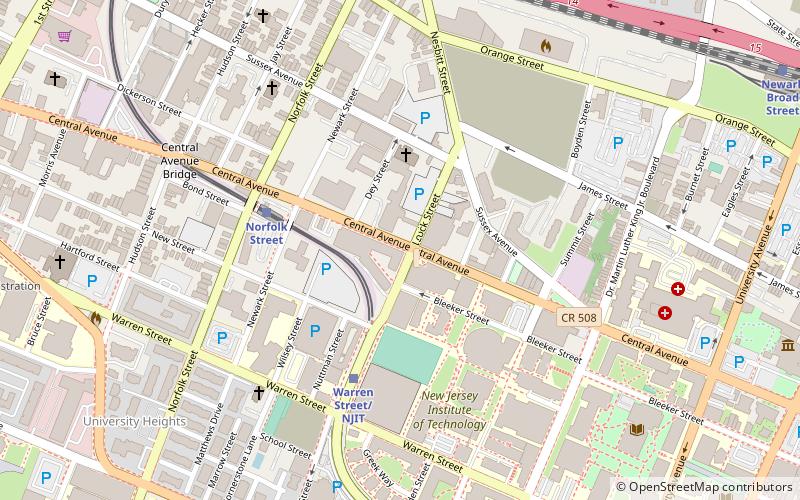
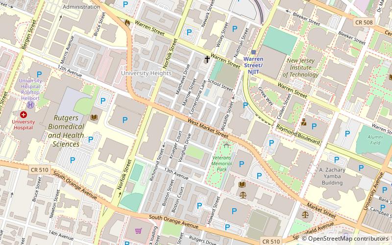
University HeightsNewark
ContactAdd
Social media
Add
Getting there by public transportation
Public transportation stops near this location
- Metro
- Bus
- Light rail
- Train
 Metro
Metro
- Calculate routeNorfolk Street 4 min walk
- Calculate routeWarren Street/NJIT 4 min walk
- Calculate routeBroad Street Station 12 min walk
- Calculate routeOrange Street 13 min walk
- Calculate routeNewark Broad Street 13 min walk
- Calculate routeNewark Penn Station 28 min walk
- Calculate routeBroad St & Market St 20 min walk
- Calculate routeNewark Penn Bus Terminal 29 min walk
- Calculate routeNewark Penn Station 29 min walk
Day trips
World AIDS Museum and Educational Center – popular in the area (distance from the attraction)
Nearby attractions include: New Jersey Performing Arts Center, The Newark Museum of Art, Bethany Baptist Church, Pro-Cathedral of Saint Patrick in Newark.


Frequently Asked Questions (FAQ)
Which popular attractions are close to World AIDS Museum and Educational Center?
Nearby attractions include New Hope Baptist Church, Newark (3 min walk), Weston Museum, Newark (5 min walk), Springfield/Belmont, Newark (7 min walk), St. Joseph's Roman Catholic Church Rectory and School, Newark (9 min walk).
How to get to World AIDS Museum and Educational Center by public transport?
The nearest stations to World AIDS Museum and Educational Center:
Light rail
Train
Bus
Metro
Light rail
- Norfolk Street • Lines: Nlr (4 min walk)
- Warren Street/NJIT • Lines: Nlr (4 min walk)
Train
- Newark Broad Street (13 min walk)
- Newark Penn Station (28 min walk)
Bus
- Broad St & Market St • Lines: 62 (20 min walk)
- Newark Penn Bus Terminal (29 min walk)
Metro
- Newark Penn Station • Lines: Nwk–Wtc (29 min walk)