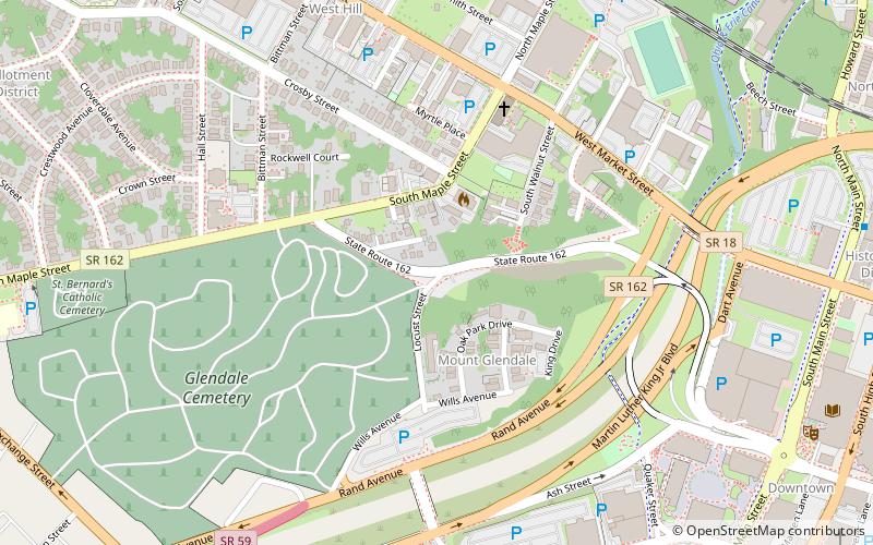
Glendale Cemetery, Akron
Map

Map

Facts and practical information
Glendale Cemetery is a historic rural cemetery located in Akron, Ohio. It was added to the National Register of Historic Places in 2001. ()
Coordinates: 41°5'7"N, 81°31'29"W
Address
Downtown AkronAkron
ContactAdd
Social media
Add
Day trips
Glendale Cemetery – popular in the area (distance from the attraction)
Nearby attractions include: Canal Park, InfoCision Stadium–Summa Field, John S. Knight Center, Akron Zoo.
Frequently Asked Questions (FAQ)
Which popular attractions are close to Glendale Cemetery?
Nearby attractions include Glendale Cemetery, Akron (7 min walk), Akron YMCA Building, Akron (8 min walk), Cascade Plaza, Akron (9 min walk), Grace Reformed Church, Akron (10 min walk).
How to get to Glendale Cemetery by public transport?
The nearest stations to Glendale Cemetery:
Train
Bus
Train
- Akron Northside (15 min walk)
Bus
- Robert K. Pfaff Transit Center (27 min walk)
- Akron Greyhound Station • Lines: 0010, 0011 (27 min walk)


