Cascade Plaza, Akron
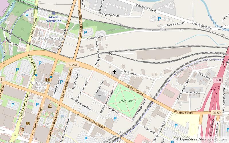
Map
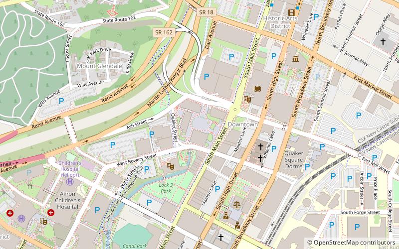
Map

Facts and practical information
Cascade Plaza is an open space with plantings and pedestrian walkways in Akron, Ohio. It was developed in the late 1960s as part of an urban renewal project that also included construction of two high rises. As of 2013 plans were going forward for a major overhaul. ()
Coordinates: 41°4'56"N, 81°31'10"W
Day trips
Cascade Plaza – popular in the area (distance from the attraction)
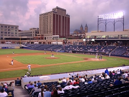
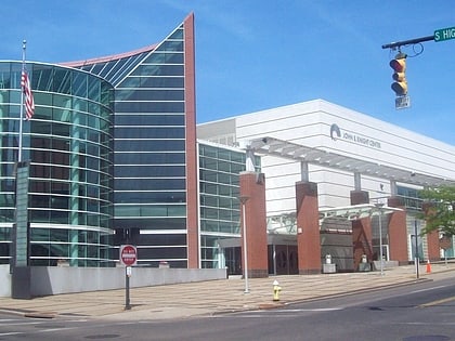
Nearby attractions include: Canal Park, InfoCision Stadium–Summa Field, John S. Knight Center, Akron Art Museum.
Frequently Asked Questions (FAQ)
Which popular attractions are close to Cascade Plaza?
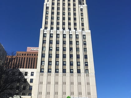
Nearby attractions include Huntington Tower, Akron (2 min walk), Akron Civic Theatre, Akron (3 min walk), Akron-Summit County Public Library, Akron (4 min walk), Summit County Courthouse, Akron (6 min walk).
How to get to Cascade Plaza by public transport?
The nearest stations to Cascade Plaza:
Train
Bus
Train
- Akron Northside (15 min walk)
Bus
- Robert K. Pfaff Transit Center (22 min walk)
- Akron Greyhound Station • Lines: 0010, 0011 (22 min walk)

