Alaskan Way Viaduct, Seattle
Facts and practical information
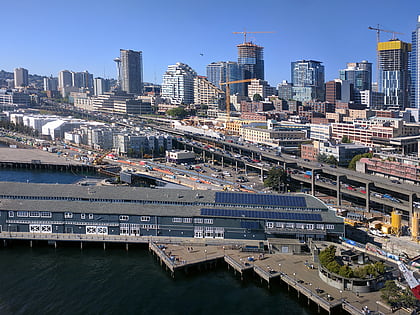
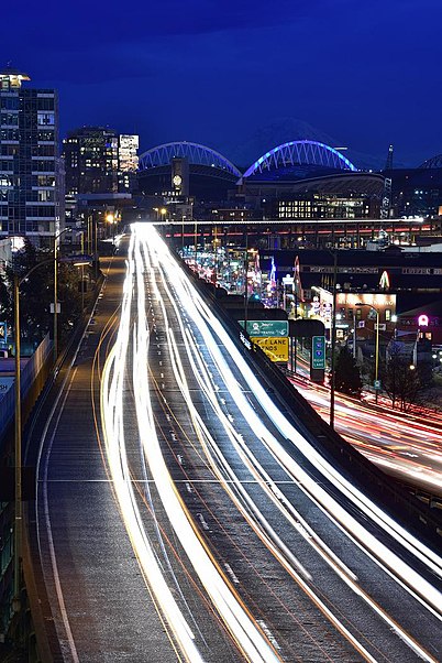
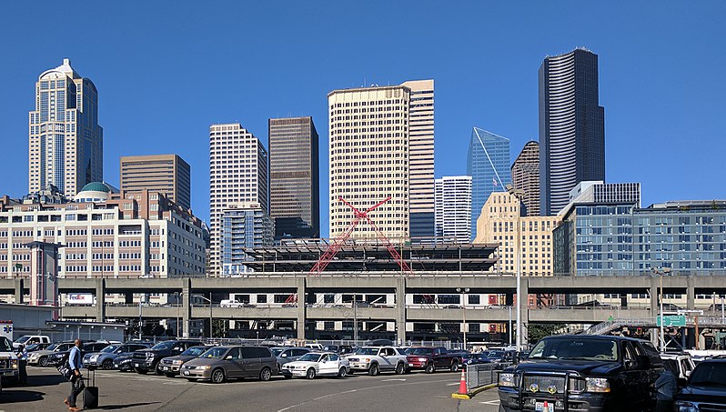
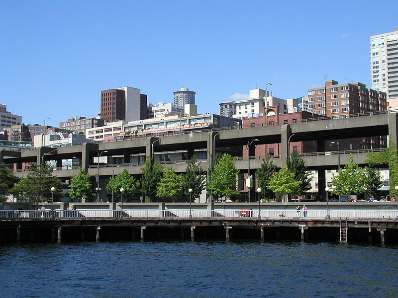
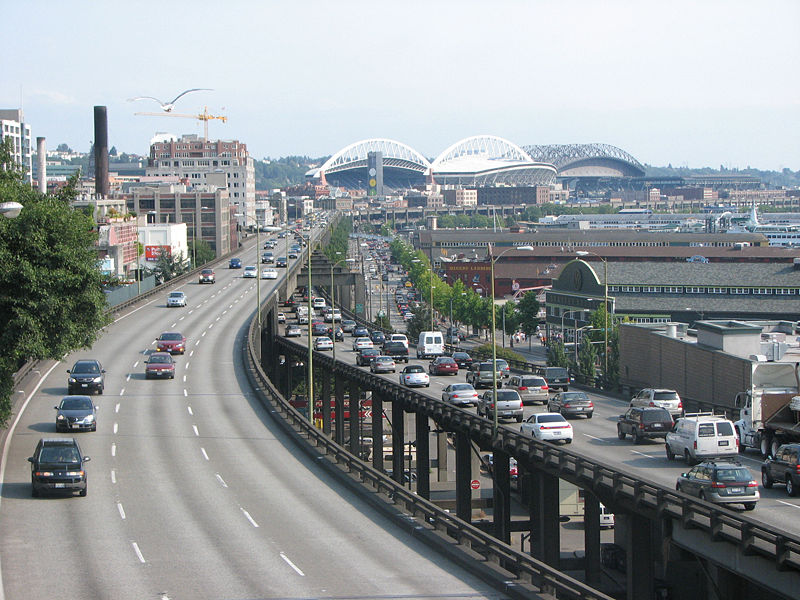
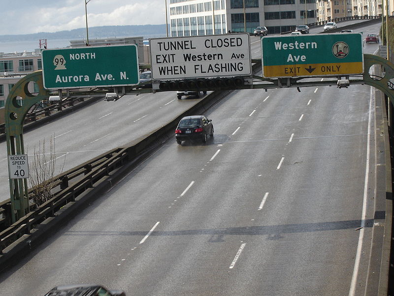
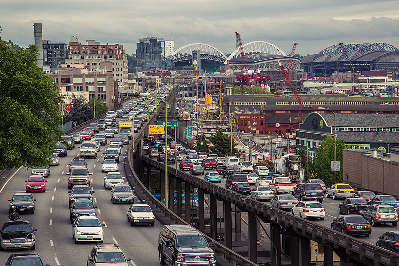
The Alaskan Way Viaduct, an elevated section of State Route 99 in Seattle, United States, was a notable feature of the city's waterfront for over six decades. This double-decked highway bridge played a critical role in the transportation infrastructure of Seattle, providing a north-south route along the downtown waterfront.
Constructed in the early 1950s, the Alaskan Way Viaduct spanned approximately 2.2 miles and was designed to alleviate traffic congestion caused by the myriad of railroad tracks that crisscrossed the city's central business district. Over the years, it became an essential thoroughfare for commuters and freight traffic alike, offering unimpeded views of the Puget Sound and the Olympic Mountains to those traveling its upper levels.
However, the viaduct's fate was sealed when it was damaged during the 2001 Nisqually earthquake. Concerns about its structural integrity and the potential for catastrophic failure in the event of a more significant seismic event led to calls for its removal. After much debate and public discussion, the decision was made to replace the aging viaduct with a tunnel.
The Alaskan Way Viaduct was permanently closed to traffic in January 2019, and its subsequent demolition marked the end of an era for Seattle's cityscape. The removal of the viaduct was seen as an opportunity to revitalize the waterfront, opening up new possibilities for public spaces, parks, and economic development.
Downtown Seattle (Waterfront)Seattle
Alaskan Way Viaduct – popular in the area (distance from the attraction)
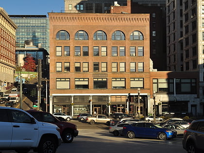
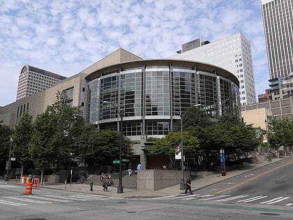
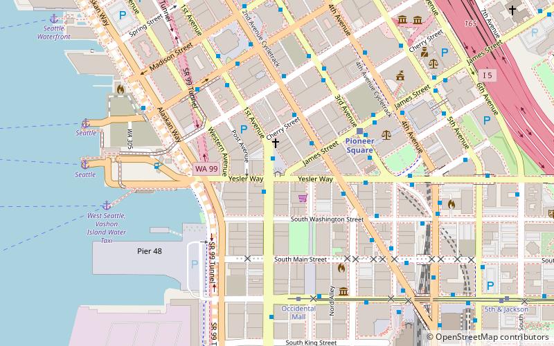
Nearby attractions include: Pike Place Chowder, Collins Pub, Pioneer Square totem pole, Benaroya Hall.
Frequently Asked Questions (FAQ)
Which popular attractions are close to Alaskan Way Viaduct?
How to get to Alaskan Way Viaduct by public transport?
Ferry
- Seattle • Lines: Seattle-Bremerton, Seattle-Winslow (5 min walk)
- Seattle Waterfront • Lines: Seattle-Blake Island (4 min walk)
Bus
- 2nd Ave & Marion St • Lines: 101, 102, 113, 121, 122, 123, 143, 150, 157, 162, 177, 178, 190, 29, 37, 577, 578 (4 min walk)
- 2nd Ave & Seneca St • Lines: 111, 114, 212, 214, 216, 217, 218, 219, 402, 405, 410, 412, 413, 415, 416, 417, 421, 422, 424, 425, 435, 550, 554, 594 (5 min walk)
Trolleybus
- 3rd Ave & Seneca St • Lines: 1, 13, 3, 4, 49 (6 min walk)
- Prefontaine Pl S & Yesler Way • Lines: 1, 13, 49 (11 min walk)
Light rail
- University Street • Lines: 1 (8 min walk)
- Pioneer Square • Lines: 1 (9 min walk)
Tram
- Occidental Mall • Lines: First Hill Streetcar (11 min walk)
- 5th & Jackson • Lines: First Hill Streetcar (16 min walk)
Train
- Westlake Center (15 min walk)
- Seattle King Street (15 min walk)
