All-America Bridge, Akron
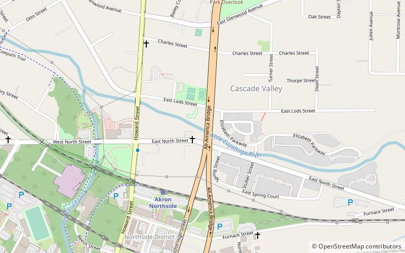
Map

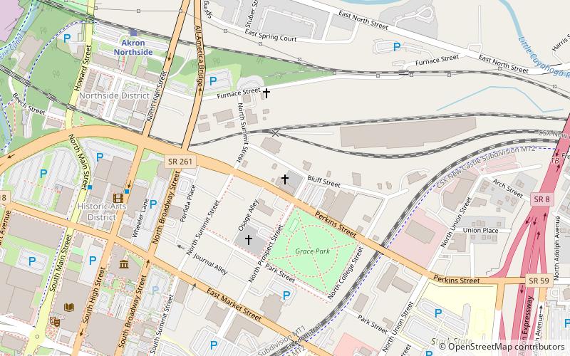
Map

Facts and practical information
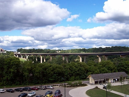
The All-America Bridge in Akron, Ohio is a viaduct carrying Ohio State Route 261 over the Little Cuyahoga River that splits into a one-way pair. Constructed 1981–1982, the bridge was named in recognition of Akron's past All-America City Awards and is also locally known as the Y-Bridge. The bridge is 134 feet tall in its highest location. ()
Completed: 1982 (44 years ago)Coordinates: 41°5'30"N, 81°30'48"W
Address
Cascade ValleyAkron
ContactAdd
Social media
Add
Day trips
All-America Bridge – popular in the area (distance from the attraction)
Nearby attractions include: Canal Park, John S. Knight Center, Akron Art Museum, Akron Civic Theatre.
Frequently Asked Questions (FAQ)
Which popular attractions are close to All-America Bridge?
Nearby attractions include Wesley Temple AME Church, Akron (11 min walk), Cascade Locks Historic District, Akron (11 min walk), Main–Market Historic District, Akron (12 min walk), Akron Public Library, Akron (13 min walk).
How to get to All-America Bridge by public transport?
The nearest stations to All-America Bridge:
Train
Train
- Akron Northside (5 min walk)


