Allegheny Aqueduct, Pittsburgh
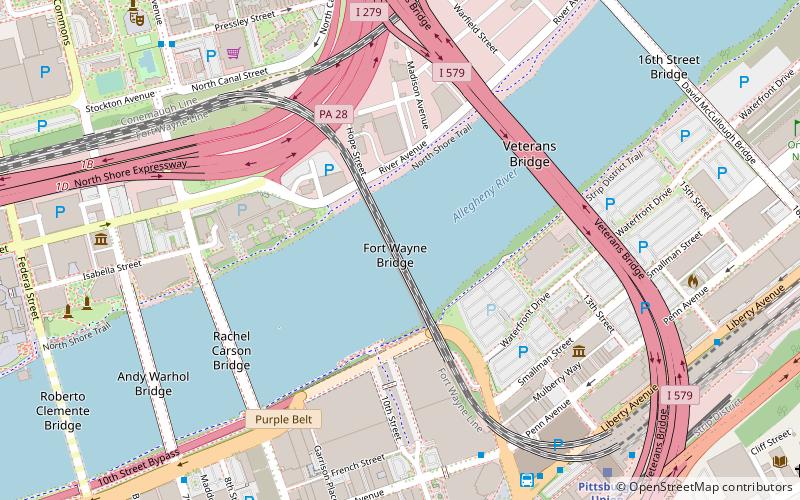
Map
Facts and practical information
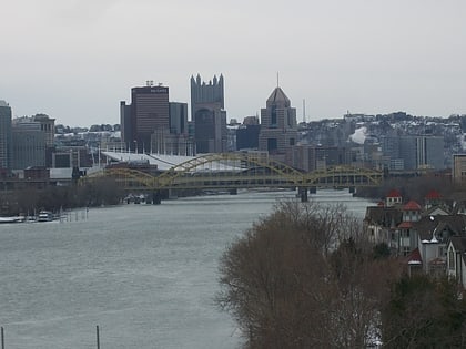
The Allegheny Aqueduct was John A. Roebling's first wire cable suspension bridge. It was built in 1844 near the later Fort Wayne Railroad Bridge as a replacement for a wooden covered bridge aqueduct over the Allegheny River in Pittsburgh, part of the Pennsylvania Canal. ()
Coordinates: 40°26'54"N, 79°59'46"W
Address
North Side (Northshore)Pittsburgh
ContactAdd
Social media
Add
Day trips
Allegheny Aqueduct – popular in the area (distance from the attraction)
Nearby attractions include: The Andy Warhol Museum, PNC Park, Benedum Center, David L. Lawrence Convention Center.
Frequently Asked Questions (FAQ)
Which popular attractions are close to Allegheny Aqueduct?
Nearby attractions include Fort Wayne Railroad Bridge, Pittsburgh (1 min walk), David L. Lawrence Convention Center, Pittsburgh (5 min walk), Rachel Carson Bridge, Pittsburgh (6 min walk), Heinz History Center, Pittsburgh (6 min walk).
How to get to Allegheny Aqueduct by public transport?
The nearest stations to Allegheny Aqueduct:
Bus
Train
Light rail
Bus
- FlixBus Pittsburgh • Lines: 2668, 2680 (7 min walk)
- Pittsburgh Greyhound Bus Station (8 min walk)
Train
- Pittsburgh Union Station (9 min walk)
Light rail
- Wood Street • Lines: Blue, Red, Silver (12 min walk)
- Steel Plaza • Lines: Blue, Red, Silver (15 min walk)


