East Columbia, Portland

Map
Facts and practical information
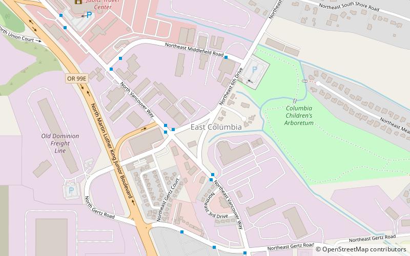
East Columbia is a neighborhood in North and Northeast Portland, Oregon, consisting of a main area west and north of the Sunderland neighborhood, and a smaller disconnected exclave on the Columbia River south of Hayden Island and east of Bridgeton. ()
Coordinates: 45°35'38"N, 122°39'50"W
Day trips
East Columbia – popular in the area (distance from the attraction)
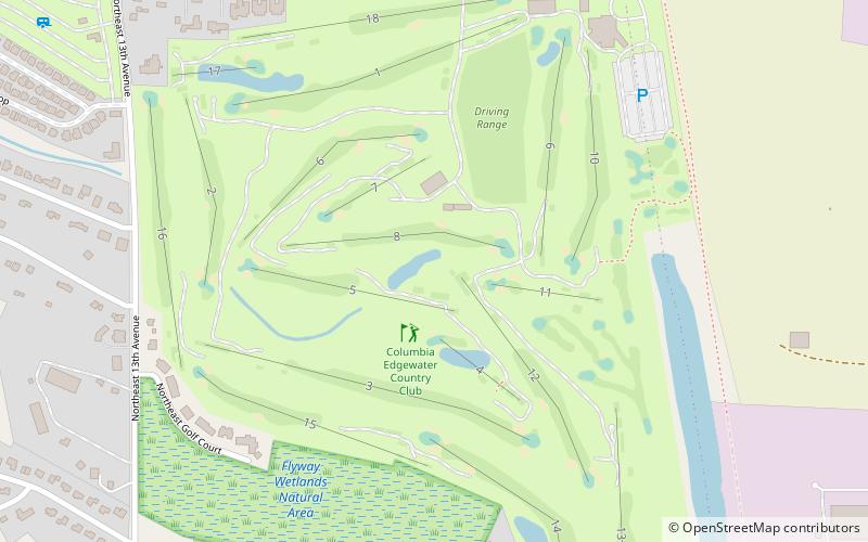
Nearby attractions include: Portland Meadows, Portland Expo Center, Columbia Edgewater Country Club, Lotus Isle.
Frequently Asked Questions (FAQ)
Which popular attractions are close to East Columbia?
Nearby attractions include Portland Meadows, Portland (13 min walk), Bridgeton, Portland (16 min walk), Delta Park, Portland (22 min walk), Raymond and Catherine Fisher House, Portland (23 min walk).
How to get to East Columbia by public transport?
The nearest stations to East Columbia:
Bus
Light rail
Bus
- Northeast Walker & North Vancouver Way • Lines: 11 (2 min walk)
- North Vancouver Way & Northeast Walker Street • Lines: 6 (3 min walk)
Light rail
- Delta Park/Vanport • Lines: Yellow (27 min walk)
- Kenton/North Denver Avenue • Lines: Yellow (33 min walk)


