Delta Park, Portland
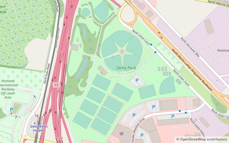
Map

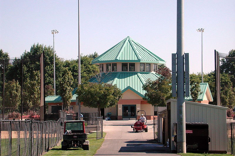
Gallery

Facts and practical information
Delta Park is a public municipal park complex in north Portland in the U.S. state of Oregon. It straddles Interstate 5, between the Columbia Slough on the south and the Columbia River on the north. The section east of the Interstate is known as East Delta Park, and to the west is West Delta Park, also colloquially known as "Raccoon City". The latter area was formerly known as the city of Vanport, created during World War II to house shipbuilders and destroyed by a flood in 1948. ()
Elevation: 13 ft a.s.l.Coordinates: 45°35'56"N, 122°40'48"W
Address
10774 N. Union Ct.North Portland (East Columbia)Portland 97217
Contact
(503) 289-2821
Social media
Add
Day trips
Delta Park – popular in the area (distance from the attraction)
Nearby attractions include: Portland Meadows, Portland Expo Center, Jantzen Beach Center, Lotus Isle.
Frequently Asked Questions (FAQ)
Which popular attractions are close to Delta Park?
Nearby attractions include Portland Meadows, Portland (15 min walk), Interstate Bridge, Portland (16 min walk), Bridgeton, Portland (17 min walk), Sternwheeler Jean, Portland (21 min walk).
How to get to Delta Park by public transport?
The nearest stations to Delta Park:
Bus
Light rail
Bus
- North Union Court & East Delta Park Entrance • Lines: 6 (5 min walk)
- North Hayden Meadows Drive & Kerby • Lines: 6 (8 min walk)
Light rail
- Delta Park/Vanport • Lines: Yellow (9 min walk)
- Expo Center • Lines: Yellow (14 min walk)


