Friendship, Pittsburgh

Gallery (1)
Map
Map
Facts and practical information
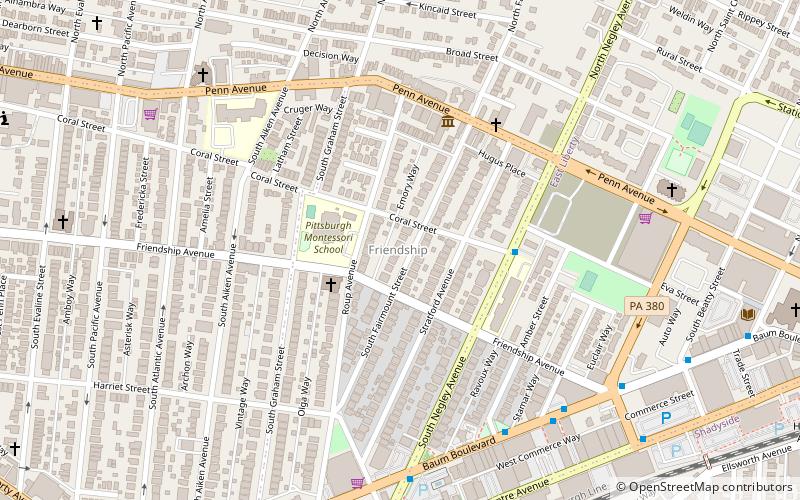
Friendship is a neighborhood of large Victorian houses in the East End of the City of Pittsburgh, Pennsylvania, United States, about four miles east of Pittsburgh's Golden Triangle. Friendship is bordered on the north by Garfield, on the east by East Liberty, and on the south by Shadyside, and on the west by Bloomfield. It is divided into 3 Pittsburgh City Council districts. ()
Area: 67.84 acres (0.106 mi²)Coordinates: 40°27'43"N, 79°56'2"W
Address
East End (Friendship)Pittsburgh
ContactAdd
Social media
Add
Getting there by public transportation
Public transportation stops near this location
- Bus
 Bus
Bus
- Calculate routeNegley 10 min walk
- Calculate routeHighland Avenue at Broad Street 13 min walk
- Calculate routeEast Liberty Station 16 min walk
- Calculate routeFifth Ave At Maryland Ave 22 min walk
Day trips


Frequently Asked Questions (FAQ)
Which popular attractions are close to Friendship?
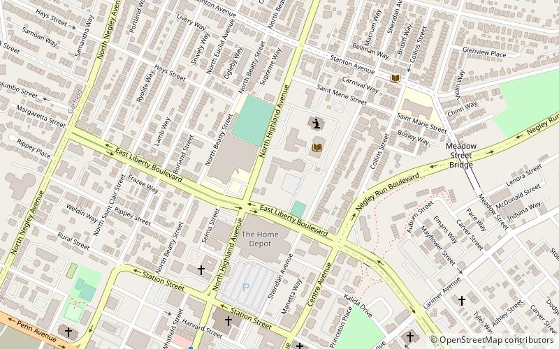
Nearby attractions include Liberty School No. 4, Pittsburgh (3 min walk), Pittsburgh Glass Center, Pittsburgh (5 min walk), Albright United Methodist Church, Pittsburgh (11 min walk), Cathedral of Hope, Pittsburgh (12 min walk).
How to get to Friendship by public transport?
The nearest stations to Friendship:
Bus
Bus
- Negley (10 min walk)
- Highland Avenue at Broad Street • Lines: 71B (13 min walk)