Atherton, Palo Alto

Gallery (2)
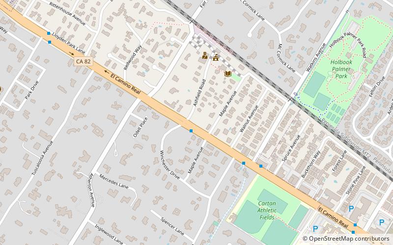
Map

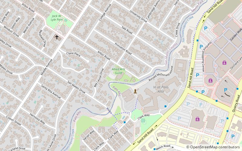
Map
Gallery
Facts and practical information
Atherton is an incorporated town in San Mateo County, California, United States. Its population was 7,188 as of 2020. ()
Getting there by public transportation
Public transportation stops near this location
- Bus
- Train
 Bus
Bus
- Calculate routeEl Camino Real & Winchester Drive 1 min walk
- Calculate routeMenlo Park 25 min walk
Day trips


Frequently Asked Questions (FAQ)
How to get to Atherton by public transport?
The nearest stations to Atherton:
Bus
Train
Bus
- El Camino Real & Winchester Drive • Lines: Ecr (1 min walk)
Train
- Menlo Park (25 min walk)