Hampden, Baltimore
Map

Gallery
Facts and practical information
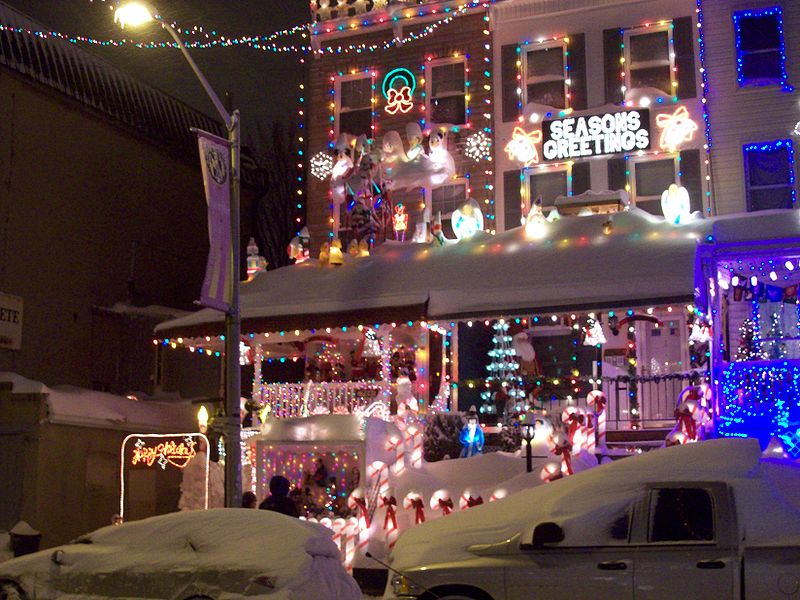
Hampden is a neighborhood located in northern Baltimore, Maryland, United States. Roughly triangular in shape, it is bounded to the east by the neighborhood Wyman Park, to the north by Roland Park at 40th and 41st Street, to the west by the Jones Falls Expressway, and to the south by the neighborhood Remington. The Homewood campus of the Johns Hopkins University is a short distance to the east. ()
Coordinates: 39°19'51"N, 76°38'6"W
Address
Northern Baltimore (Hampden)Baltimore
ContactAdd
Social media
Add
Day trips
Hampden – popular in the area (distance from the attraction)
Nearby attractions include: Baltimore Museum of Art, The Maryland Zoo in Baltimore, Mondawmin Mall, The Rotunda.
Frequently Asked Questions (FAQ)
Which popular attractions are close to Hampden?
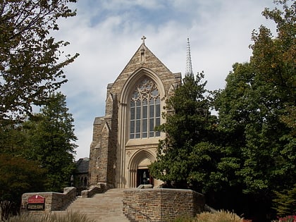
Nearby attractions include Grace-Hampden Methodist Episcopal Church, Baltimore (3 min walk), Evergreen on the Falls, Baltimore (7 min walk), Londontown Manufacturing Company, Baltimore (11 min walk), Wyman Park, Baltimore (11 min walk).
How to get to Hampden by public transport?
The nearest stations to Hampden:
Light rail
Bus
Metro
Light rail
- Woodberry • Lines: Lr (12 min walk)
- Cold Spring Lane • Lines: Lr (30 min walk)
Bus
- 40th Street & Roland Avenue Westbound • Lines: 22, 95 (12 min walk)
- 41st Street & Edgehill Avenue Eastbound • Lines: 21, 22 (12 min walk)
Metro
- Mondawmin • Lines: M (34 min walk)


