Central City, Phoenix

Gallery (3)
Map

Map
Gallery
Facts and practical information
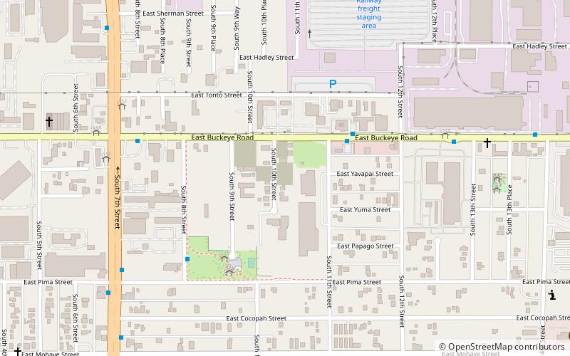
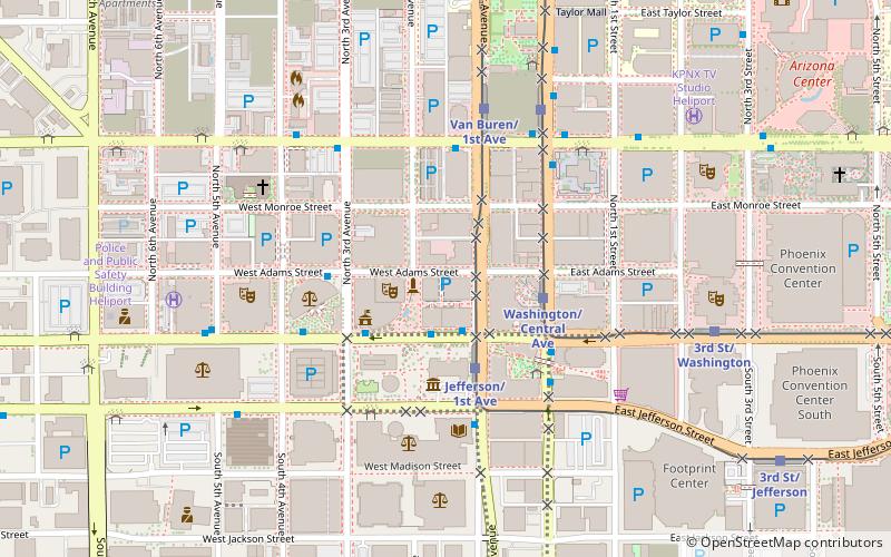
Central City Village is the urban village of Phoenix, Arizona, that includes the downtown area of the city. As of 2010, it had a population of 58,161 residents. ()
Area: 10 mi²Coordinates: 33°26'9"N, 112°3'36"W
Getting there by public transportation
Public transportation stops near this location
- Bus
 Bus
Bus
- Calculate route10217 21 min walk
- Calculate route10269 24 min walk
- Calculate route10397 28 min walk
- Calculate route10213 31 min walk
Day trips


Frequently Asked Questions (FAQ)
How to get to Central City by public transport?
The nearest stations to Central City:
Bus
Bus
- 10217 • Lines: 1 Eb (21 min walk)
- 10269 • Lines: 1 Wb (24 min walk)