Bancroft, Baltimore
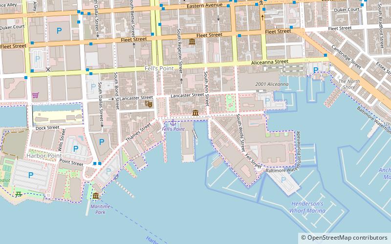
Map
Facts and practical information
Bancroft is a preserved glass-cabin launch, built in 1925 by the City of Baltimore, Maryland, United States. She is a documented work vessel of five net tons, licensed to carry six or less passengers for hire in the coasting trade. She has a registered length of 28.7 feet, her beam is 8.6 feet, and her draft is 2.6 feet. She was used continually for pier inspection by the City of Baltimore Harbor Engineer until 1966. ()
Coordinates: 39°16'54"N, 76°35'30"W
Address
Southeastern Baltimore (Fells Point)Baltimore
ContactAdd
Social media
Add
Getting there by public transportation
Public transportation stops near this location
- Metro
- Bus
 Metro
Metro
- Calculate routeBroadway Market 6 min walk
- Calculate routeFleet Street Eastbound 7 min walk
- Calculate routeMaritime Park Eastbound 7 min walk
- Calculate routeShot Tower/Market Place 25 min walk
- Calculate routeJohns Hopkins Hospital 30 min walk
Day trips


Frequently Asked Questions (FAQ)
Which popular attractions are close to Bancroft?
Nearby attractions include The Vagabond Players, Baltimore (4 min walk), Fell's Point, Baltimore (5 min walk), National Slavic Museum, Baltimore (5 min walk), Robert Long House, Baltimore (7 min walk).
How to get to Bancroft by public transport?
The nearest stations to Bancroft:
Bus
Metro
Bus
- Broadway Market • Lines: Green (6 min walk)
- Fleet Street Eastbound • Lines: Green (7 min walk)
Metro
- Shot Tower/Market Place • Lines: M (25 min walk)
- Johns Hopkins Hospital • Lines: M (30 min walk)