Bandana Square, Saint Paul
Map
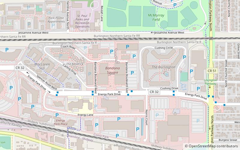
Map

Facts and practical information
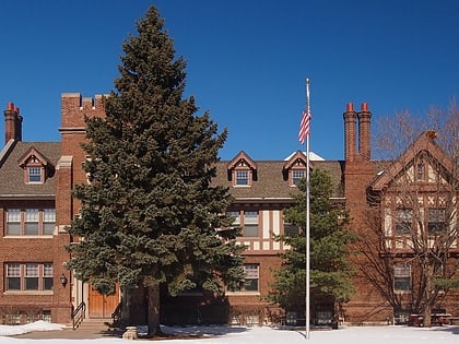
Bandana Square, formerly the Como Shops of the Northern Pacific Railway, is currently an office center. However, it was originally designed to be an enclosed shopping center in the Energy Park neighborhood of Saint Paul, Minnesota. The site is in the National Register of Historic Places. ()
Built: 1885 (141 years ago)Coordinates: 44°58'18"N, 93°9'11"W
Day trips
Bandana Square – popular in the area (distance from the attraction)
Nearby attractions include: Como Regional Park Pool, Como Town, Midway Stadium, Marjorie McNeely Conservatory.
Frequently Asked Questions (FAQ)
Which popular attractions are close to Bandana Square?
Nearby attractions include Horton Park, Saint Paul (16 min walk), Salvation Army, Saint Paul (16 min walk), Como Town, Saint Paul (18 min walk), Marjorie McNeely Conservatory, Saint Paul (19 min walk).
How to get to Bandana Square by public transport?
The nearest stations to Bandana Square:
Bus
Light rail
Bus
- Bandana Blvd E • Lines: 3B (2 min walk)
- #1200 • Lines: 3B (6 min walk)
Light rail
- Hamline Avenue • Lines: 902 (29 min walk)
- Lexington Parkway • Lines: 902 (30 min walk)

