Mae Stecker Park, Utica
Map

Map

Facts and practical information
Mae Stecker Park is a place located in Utica (Michigan state) and belongs to the category of relax in park, park.
It is situated at an altitude of 659 feet, and its geographical coordinates are 42°40'60"N latitude and 83°1'40"W longitude.
Among other places and attractions worth visiting in the area are: Clinton–Kalamazoo Canal, Shelby Charter Township (canal, 60 min walk), Loren Andrus Octagon House, Washington Township (history museum, 63 min walk), Jimmy John's Field (arenas and stadiums, 103 min walk).
Elevation: 659 ft a.s.l.Coordinates: 42°40'60"N, 83°1'40"W
Day trips
Mae Stecker Park – popular in the area (distance from the attraction)
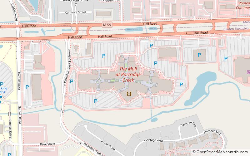
Nearby attractions include: Lakeside Mall, Jimmy John's Field, The Mall at Partridge Creek, Rochester.


