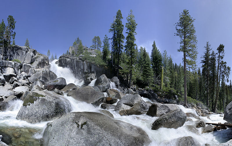
Bassi Falls, Eldorado National Forest

Gallery (2)
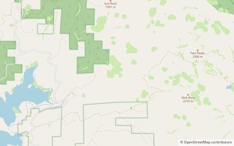
Map
Map
Gallery
Facts and practical information
Bassi Falls is a waterfall in the Sierra Nevada mountain range, to the west of Lake Tahoe in the El Dorado County, California. It falls for 109 ft. It is off of a 5-mile 4x4 road which leads to a trailhead just 1/2 mile from the falls. ()
Coordinates: 38°53'35"N, 120°19'48"W
Address
Eldorado National Forest
ContactAdd
Social media
Add
Day trips


