Tells Peak, Lake Tahoe Basin Management Unit
#31 among attractions in Lake Tahoe Basin Management Unit


Facts and practical information
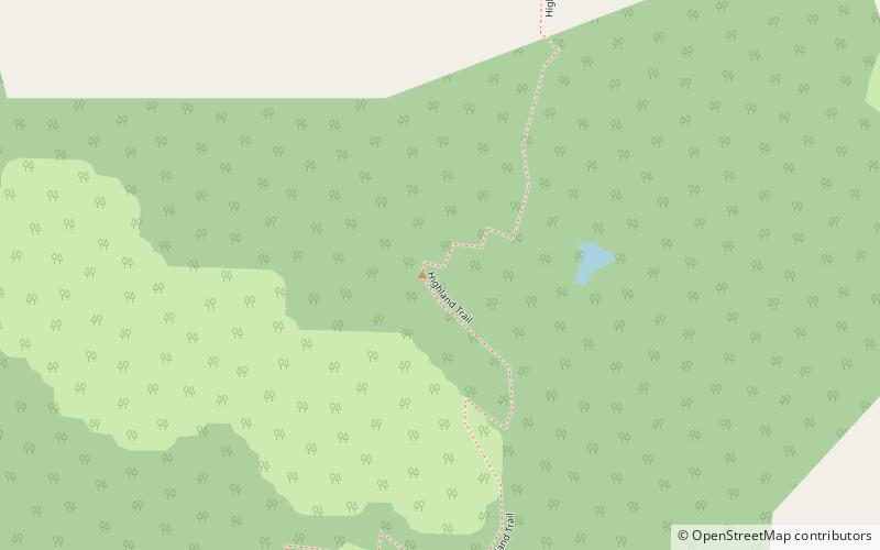
Tells Peak is a mountain in the Sierra Nevada at the very north end of the Crystal Range, to the west of Lake Tahoe. It is located in the Desolation Wilderness in El Dorado County, California. ()
Lake Tahoe Basin Management Unit United States
Tells Peak – popular in the area (distance from the attraction)
Nearby attractions include: Loon Lake, Silver Peak, Phipps Peak, Bassi Falls.
 Nature, Natural attraction, Lake
Loon Lake, Eldorado National Forest
101 min walk • Loon Lake is a reservoir in the Eldorado National Forest of El Dorado County, California, United States.
 Nature, Natural attraction, Mountain
Silver Peak, Lake Tahoe Basin Management Unit
56 min walk • Silver Peak is a mountain in the Sierra Nevada mountain range at the north end of the Crystal Mountains, to the east of Lake Tahoe. It is located in the Desolation Wilderness in El Dorado County, California.
 Nature, Natural attraction, Mountain
Phipps Peak, Lake Tahoe Basin Management Unit
143 min walk • Phipps Peak is a mountain in the Sierra Nevada to the west of Emerald Bay and Lake Tahoe; and to the east of Rockbound Valley and the Crystal Range. The peak is in El Dorado County, California and the Desolation Wilderness.
 Nature, Natural attraction, Waterfall
Bassi Falls, Eldorado National Forest
157 min walk • Bassi Falls is a waterfall in the Sierra Nevada mountain range, to the west of Lake Tahoe in the El Dorado County, California. It falls for 109 ft. It is off of a 5-mile 4x4 road which leads to a trailhead just 1/2 mile from the falls.
 Nature, Natural attraction, Lake
Francis Lake, Eldorado National Forest
131 min walk • Francis Lake is a small backcountry lake in the Sierra Nevada mountain range, to the west of Lake Tahoe in the Eldorado National Forest. There are no trails to this lake. This lake is very near Loon Lake.
 Natural attraction, Protected area
Desolation Wilderness, Lake Tahoe Basin Management Unit
132 min walk • The Desolation Wilderness is a 63,960-acre federally protected wilderness area in the Eldorado National Forest and Lake Tahoe Basin Management Unit, in El Dorado County, California. The crest of the Sierra Nevada runs through it, just west of Lake Tahoe.
 Nature, Natural attraction, Mountain
McConnell Peak, Lake Tahoe Basin Management Unit
26 min walk • McConnell Peak is a mountain in the Sierra Nevada mountain range at the north end of the Crystal Mountains, to the west of Lake Tahoe. It is located in the Desolation Wilderness in El Dorado County, California.
 Nature, Natural attraction, Mountain
Red Peak, Lake Tahoe Basin Management Unit
76 min walk • Red Peak is a mountain in the Sierra Nevada mountain range at the north end of the Crystal Range, to the west of Lake Tahoe. It is located in the Desolation Wilderness in El Dorado County, California.
 Nature, Natural attraction, Mountain
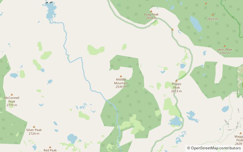
Middle Mountain, Lake Tahoe Basin Management Unit
101 min walk • Middle Mountain is a mountain in the Sierra Nevada mountain range to the west of Lake Tahoe in the Desolation Wilderness in El Dorado County, California.
 Nature, Natural attraction, Mountain
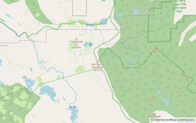
Lost Corner Mountain, Lake Tahoe Basin Management Unit
117 min walk • Lost Corner Mountain is a mountain summit in the Sierra Nevada mountain range to the west of Lake Tahoe on the border of the Desolation Wilderness in El Dorado County, California. The city closest to it is Meyers, California which is 4.4 miles away. The Pacific Crest Trail skirts the mountain on its west flank.
 Nature, Natural attraction, Mountain
Crystal Range, Lake Tahoe Basin Management Unit
109 min walk • The Crystal Range is a small chain of mountain peaks in the Desolation Wilderness in the U.S. state of California. It is a subrange of the Sierra Nevada.
