Benjamin Franklin Parkway, Philadelphia
Map
Gallery
Facts and practical information
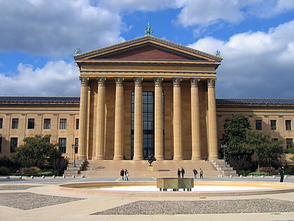
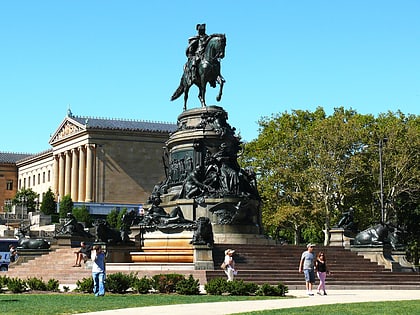
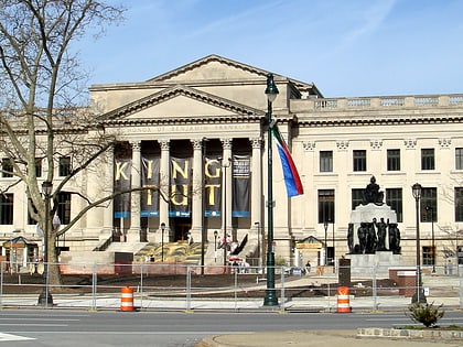
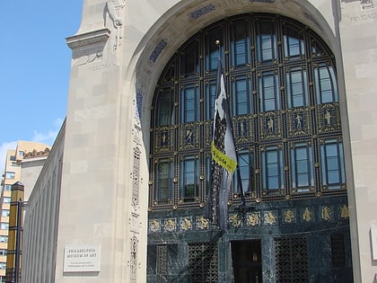
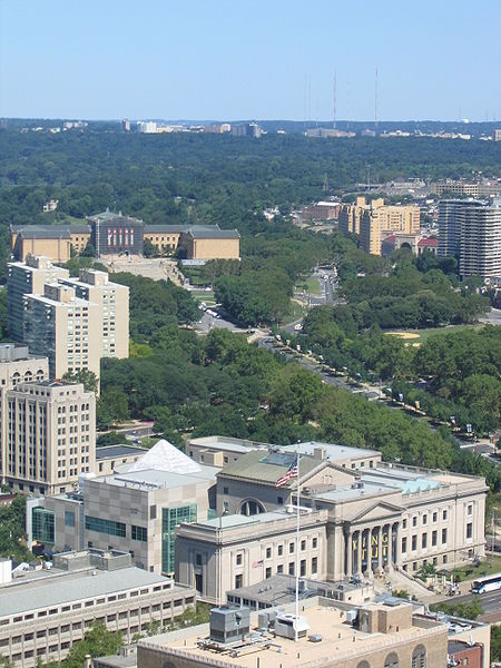
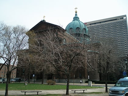
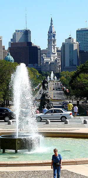
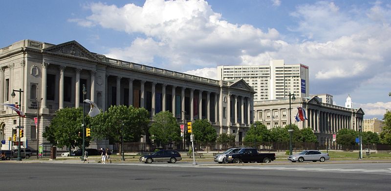
Benjamin Franklin Parkway, commonly abbreviated to Ben Franklin Parkway, and colloquially in local usage "the Parkway", is a scenic boulevard that runs through the cultural heart of Philadelphia. Named for Founding Father Benjamin Franklin, the mile-long Parkway cuts diagonally across the grid plan pattern of Center City's northwest quadrant. It starts at Philadelphia City Hall, curves around Logan Circle, and ends before the Philadelphia Museum of Art. ()
Address
Center City (Logan Square)Philadelphia
ContactAdd
Social media
Add
Day trips
Benjamin Franklin Parkway – popular in the area (distance from the attraction)
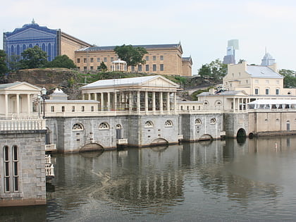
Nearby attractions include: Philadelphia Museum of Art, Barnes Foundation, Fairmount Water Works, Rodin Museum.
Frequently Asked Questions (FAQ)
Which popular attractions are close to Benjamin Franklin Parkway?
Nearby attractions include Eakins Oval, Philadelphia (2 min walk), Live 8 concert, Philadelphia (2 min walk), Philadelphia Freedom Concert, Philadelphia (3 min walk), Rocky Steps, Philadelphia (3 min walk).
How to get to Benjamin Franklin Parkway by public transport?
The nearest stations to Benjamin Franklin Parkway:
Train
Bus
Tram
Metro
Train
- Philadelphia 30th Street Station (15 min walk)
- Suburban Station (23 min walk)
Bus
- Bolt Bus (16 min walk)
- Megabus (16 min walk)
Tram
- Poplar Street & 25th Street • Lines: 15 (16 min walk)
- South College Avenue & 24th Street • Lines: 15 (16 min walk)
Metro
- 30th Street • Lines: Mfl (18 min walk)
- 34th Street • Lines: Mfl (23 min walk)


 SEPTA Regional Rail