Cira Centre, Philadelphia
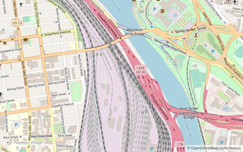
Map
Gallery
Facts and practical information
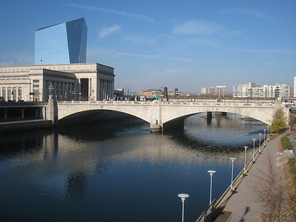
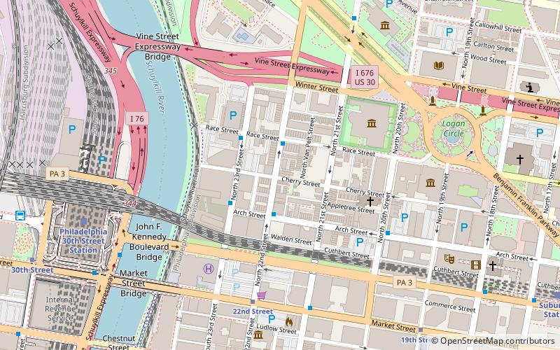
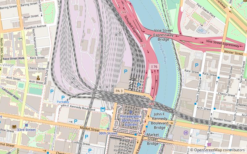
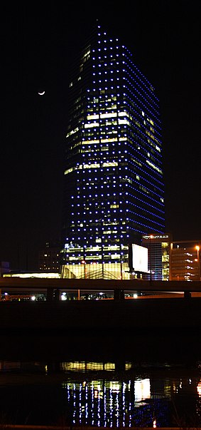
The Cira Centre is a 29-story, 437-foot office high-rise in the University City section of Philadelphia, directly connected to Amtrak's 30th Street Station. Developed by Brandywine Realty Trust and designed by César Pelli, it was built in 2004-05 on a platform over rail tracks. ()
Opened: 2005 (21 years ago)Floors: 29Elevation: 7 ft a.s.l.Coordinates: 39°57'28"N, 75°10'57"W
Day trips
Cira Centre – popular in the area (distance from the attraction)
Nearby attractions include: Walnut Street, Mütter Museum, Market Street Bridge, Schuylkill Banks.
Frequently Asked Questions (FAQ)
Which popular attractions are close to Cira Centre?
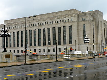
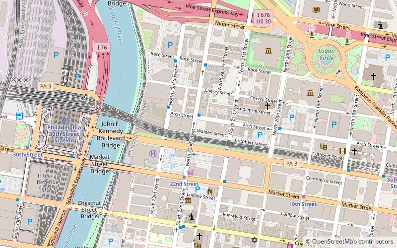
Nearby attractions include Cira Centre South, Philadelphia (2 min walk), Pennsylvania Railroad World War II Memorial, Philadelphia (4 min walk), John F. Kennedy Boulevard Bridge, Philadelphia (6 min walk), Vine Street Expressway Bridge, Philadelphia (6 min walk).
How to get to Cira Centre by public transport?
The nearest stations to Cira Centre:
Train
Bus
Tram
Metro
Train
- Philadelphia 30th Street Station (4 min walk)
- Penn Medicine (21 min walk)
Bus
- Bolt Bus (4 min walk)
- Megabus (4 min walk)
Tram
- 30th Street • Lines: 10, 11, 13, 34, 36 (6 min walk)
- 33rd Street • Lines: 10, 11, 13, 34, 36 (11 min walk)
Metro
- 30th Street • Lines: Mfl (6 min walk)
- 34th Street • Lines: Mfl (13 min walk)

 SEPTA Regional Rail