Big Four Bridge, Louisville
Map
Gallery
Facts and practical information
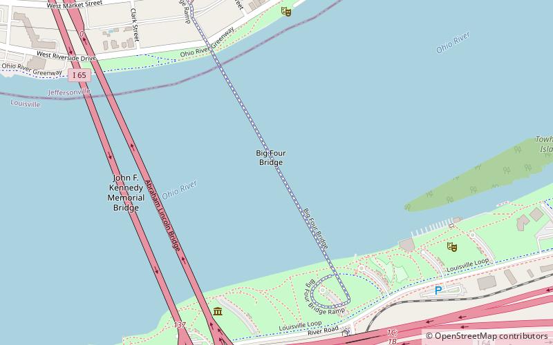
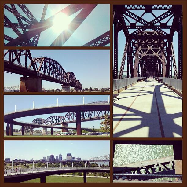
The Big Four Bridge is a six-span former railroad truss bridge that crosses the Ohio River, connecting Louisville, Kentucky, and Jeffersonville, Indiana. It was completed in 1895, updated in 1929, taken out of rail service in 1968, and converted to bicycle and pedestrian use in 2014. The largest single span is 547 feet, with the entire bridge spanning 2,525 feet. It took its name from the defunct Cleveland, Cincinnati, Chicago and St. Louis Railway, which was nicknamed the "Big Four Railroad". ()
Opened: 1895 (131 years ago)Length: 2525 ftCoordinates: 38°15'55"N, 85°44'20"W
Address
Ohio RiverLouisville
ContactAdd
Social media
Add
Day trips
Big Four Bridge – popular in the area (distance from the attraction)
Nearby attractions include: Louisville Slugger Field, KFC Yum! Center, Louisville Waterfront Park, Belle of Louisville.
Frequently Asked Questions (FAQ)
Which popular attractions are close to Big Four Bridge?
Nearby attractions include Abraham Lincoln Bridge, Louisville (6 min walk), John F. Kennedy Memorial Bridge, Louisville (7 min walk), Big Four Station, Louisville (11 min walk), Grisamore House, Jeffersonville (12 min walk).
How to get to Big Four Bridge by public transport?
The nearest stations to Big Four Bridge:
Bus
Bus
- Slugger Field Parking • Lines: 77Witherspoon (16 min walk)
- Spring / Court • Lines: 71, 72 (17 min walk)


