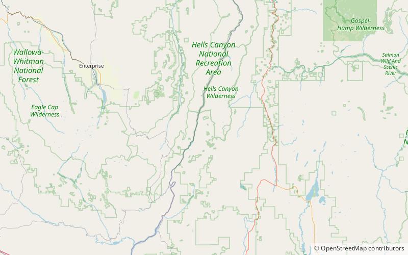
Sheep Rock, Payette National Forest
Map

Map

Facts and practical information
Sheep Rock is an overlook of Hells Canyon in the Payette National Forest about 45 miles northwest of Council, Idaho. It was designated a National Natural Landmark in 1976. The formation consists of two contrasting series of layers from the Columbia River Basalt Group. The layers are separated by an unconformity and provide an unobstructed view of this type of geologic phenomenon. ()
Elevation: 6847 ftCoordinates: 45°11'29"N, 116°40'16"W
Day trips
Sheep Rock – popular in the area (distance from the attraction)
Nearby attractions include: Hells Canyon.

