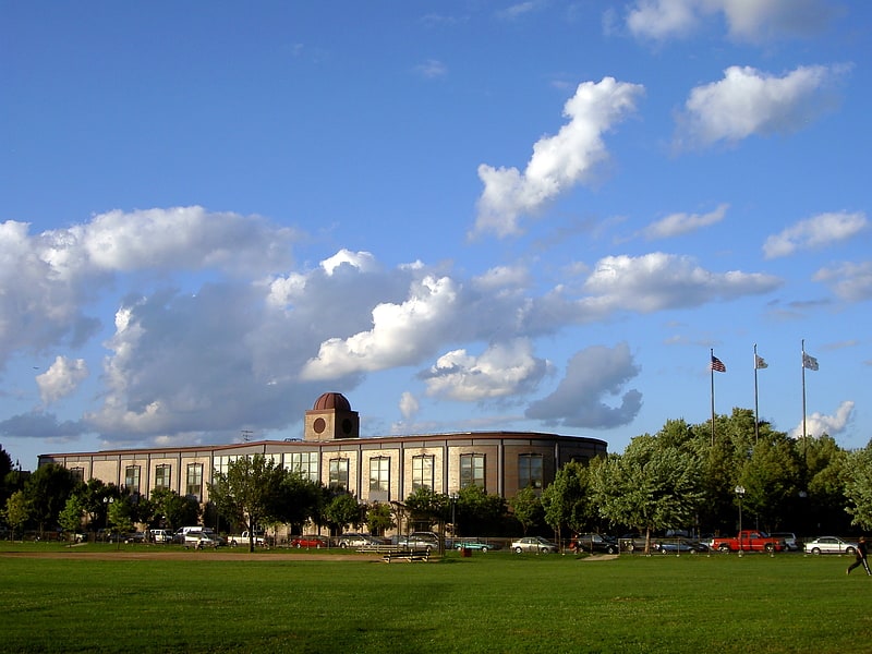
Welles Park, Chicago
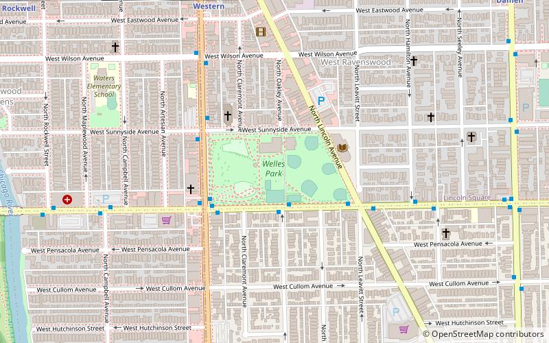
Map
Facts and practical information
Welles Park is one of the 5 parks created by the Lincoln Park Commission and is named after Gideon Welles. It is part of the City's park system administered by the Chicago Park District. A volunteer organization, The Welles Park Advisory Council helps support the park. ()
Elevation: 594 ft a.s.l.Coordinates: 41°57'44"N, 87°41'11"W
Address
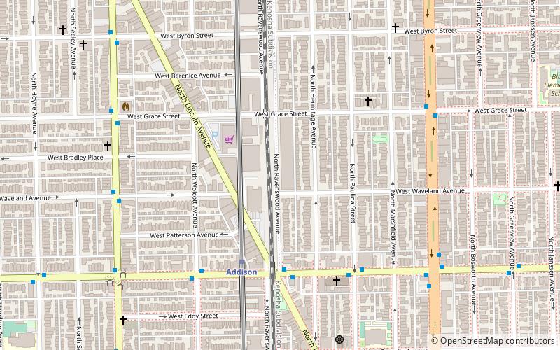
2333 W Sunnyside AveFar North Side (Lincoln Square)Chicago 60625
Contact
(312) 742-7511
Social media
Add
Getting there by public transportation
Public transportation stops near this location
- Metro
- Bus
- Train
 Metro
Metro
- Calculate routeMontrose & Oakley WB 2 min walk
- Calculate routeWestern 8 min walk
- Calculate routeDamen 13 min walk
- Calculate routeRockwell 13 min walk
- Calculate routeRavenswood 19 min walk
Maps Rail "L"
Rail "L"Day trips


Frequently Asked Questions (FAQ)
Which popular attractions are close to Welles Park?
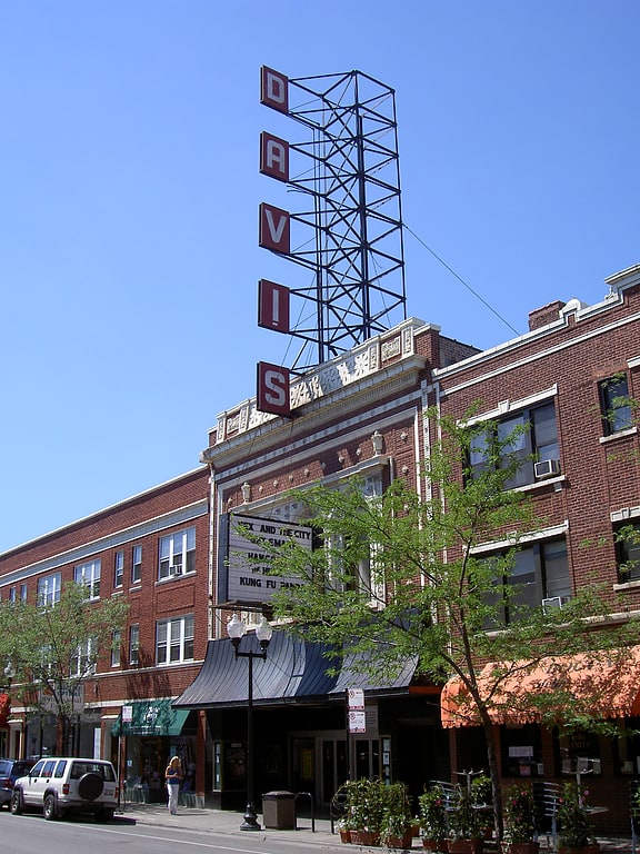
Nearby attractions include Conrad Sulzer Regional Library, Chicago (3 min walk), The Old-Town School of Folk Music, Chicago (4 min walk), Krause Music Store, Chicago (6 min walk), Davis Theater, Chicago (6 min walk).
How to get to Welles Park by public transport?
The nearest stations to Welles Park:
Bus
Metro
Train
Bus
- Montrose & Oakley WB • Lines: 78 (2 min walk)
Metro
- Western • Lines: Brown (8 min walk)
- Damen • Lines: Brown (13 min walk)
Train
- Ravenswood (19 min walk)