Ravenswood, Chicago
Map
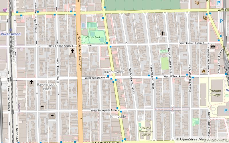
Map

Facts and practical information
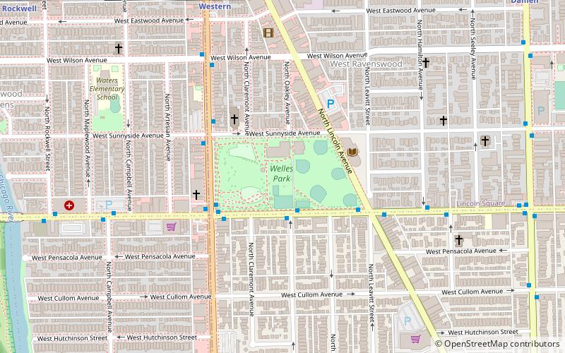
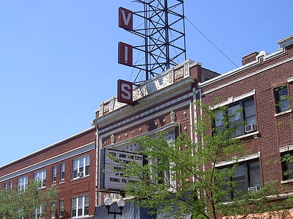
Ravenswood is a neighborhood located on the North Side of the city of Chicago, Illinois. Lacking designation as one of Chicago's 77 well-defined community areas, it is mostly situated in the Lincoln Square community area, with the portion east of Ravenswood Avenue and the Chicago & Northwestern/Union Pacific North Line railroad tracks being situated in the Uptown community area. ()
Coordinates: 41°57'56"N, 87°40'0"W
Address
Far North Side (Uptown)Chicago
ContactAdd
Social media
Add
Day trips
Ravenswood – popular in the area (distance from the attraction)
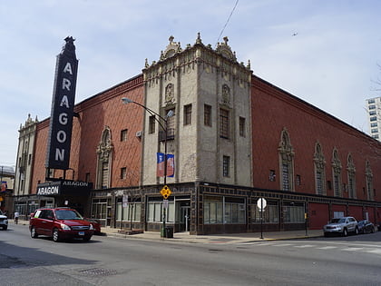
Nearby attractions include: Aragon Ballroom, Swedish American Museum, Graceland Cemetery, Big Chicks.
Frequently Asked Questions (FAQ)
Which popular attractions are close to Ravenswood?
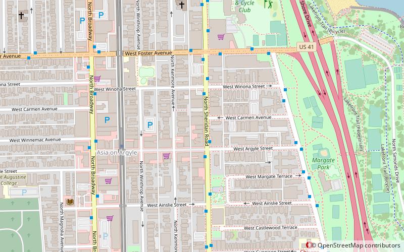
Nearby attractions include Sheridan Park Historic District, Chicago (5 min walk), All Saints Episcopal Church, Chicago (9 min walk), Buddhist Temple of Chicago, Chicago (10 min walk), Riviera Theatre, Chicago (11 min walk).
How to get to Ravenswood by public transport?
The nearest stations to Ravenswood:
Bus
Train
Metro
Bus
- Clark & Wilson • Lines: 22, 78, (N) N22 (1 min walk)
- Clark & Leland • Lines: 22, (N) N22 (3 min walk)
Train
- Ravenswood (11 min walk)
Metro
- Wilson • Lines: Purple, Red (12 min walk)
- Lawrence • Lines: Red (13 min walk)

 Rail "L"