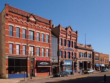
Benton County Historical Society & Museum, Sauk Rapids
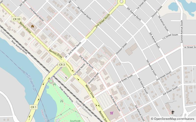
Map
Map

Facts and practical information
Benton County Historical Society & Museum (address: 218 1st St N) is a place located in Sauk Rapids (Minnesota state) and belongs to the category of museum.
It is situated at an altitude of 1027 feet, and its geographical coordinates are 45°35'26"N latitude and 94°9'54"W longitude.
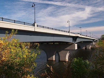
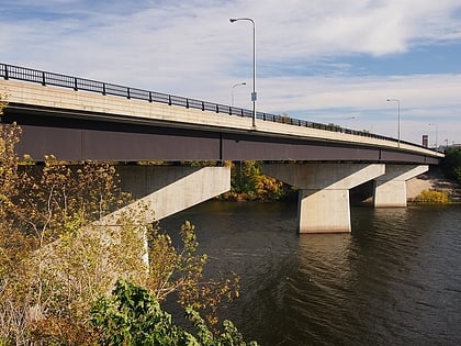
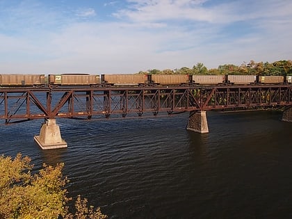
Among other places and attractions worth visiting in the area are: Sauk Rapids Regional Bridge (bridge, 8 min walk), St. Cloud Rail Bridge, Saint Cloud (bridge, 49 min walk), Veterans Bridge, Saint Cloud (bridge, 50 min walk).
Coordinates: 45°35'26"N, 94°9'54"W
Day trips
Benton County Historical Society & Museum – popular in the area (distance from the attraction)
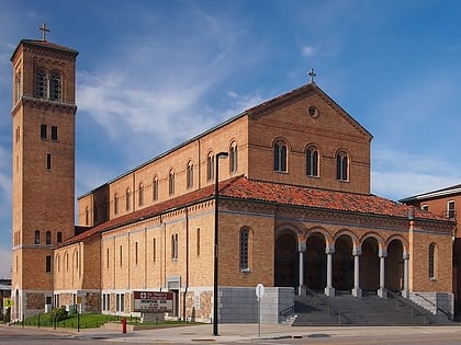
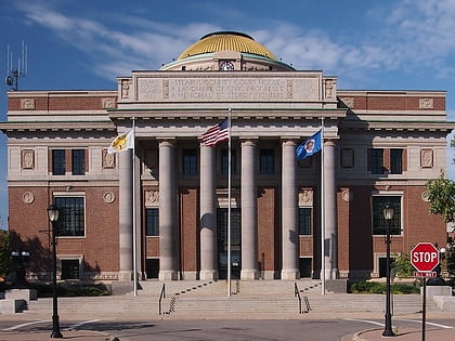
Nearby attractions include: Herb Brooks National Hockey Center, Joe Faber Field, Granite City Crossing, Cathedral of Saint Mary.


