Brechtel Park, New Orleans

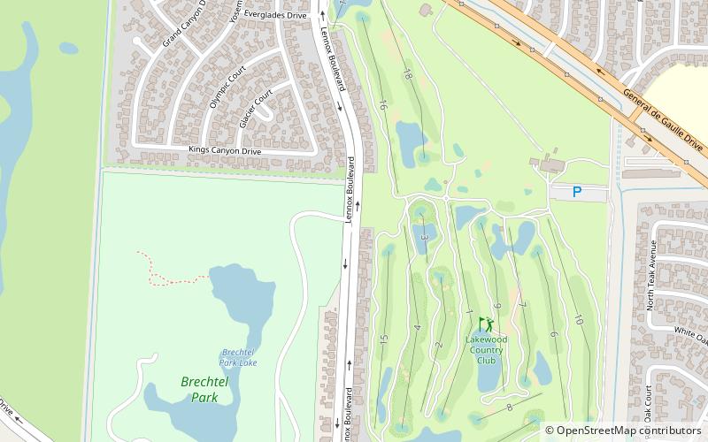
Map
Facts and practical information
Brechtel Park is a 120 acre urban park in the Algiers neighborhood of New Orleans. The park was founded in 1971 using funds from the Federal Land and Water Conservation Fund, and is maintained by the New Orleans Department of Parks and Parkways. Brechtel is a stop on the Barataria Loop of America’s Wetlands Birding Trail. ()
Elevation: 3 ft a.s.l.Coordinates: 29°54'37"N, 90°0'27"W
Address
Algiers (Tall Timbers - Brechtel)New Orleans
ContactAdd
Social media
Add
Day trips
Brechtel Park – popular in the area (distance from the attraction)
Nearby attractions include: Oakwood Center, Crescent City Connection, Chalmette monument, St. Joseph Church-Convent of the Most Holy Sacrament Complex.


