Crescent City Connection, New Orleans
Map

Gallery

Facts and practical information
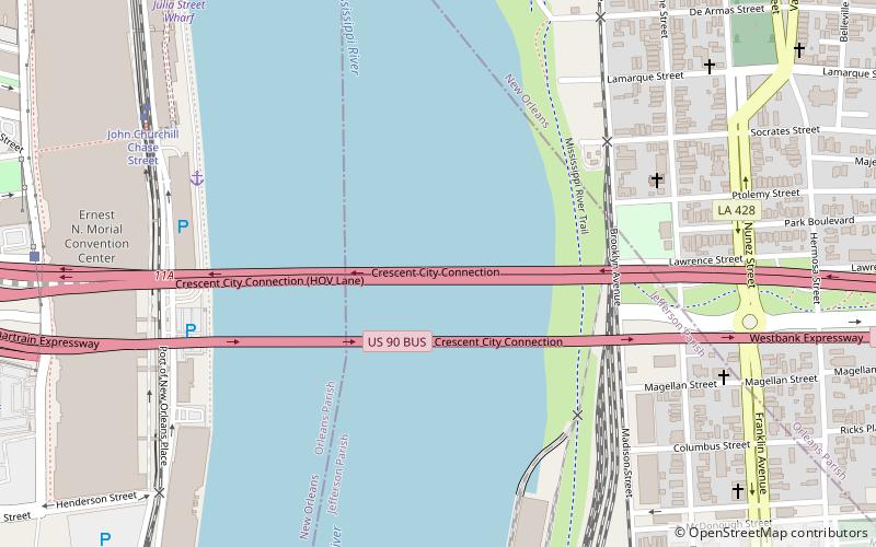
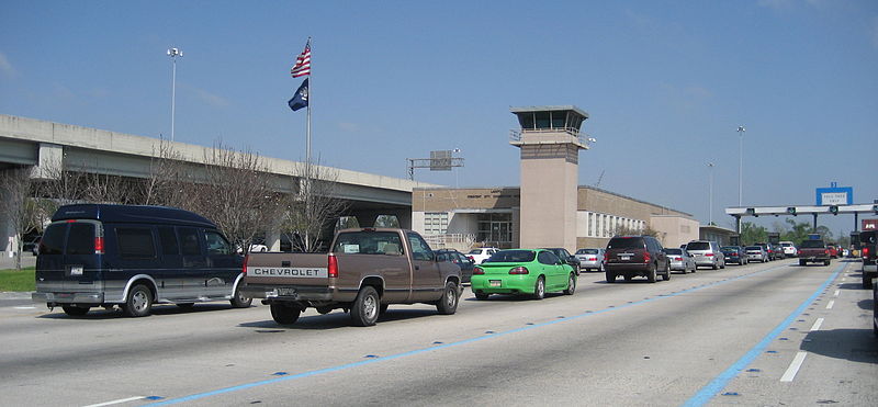
The Crescent City Connection, formerly the Greater New Orleans Bridge, is a pair of cantilever bridges that carry U.S. Highway 90 Business over the Mississippi River in New Orleans, Louisiana, United States. They are tied as the fifth-longest cantilever bridges in the world. Each span carries four general-use automobile lanes; additionally the westbound span has two reversible HOV lanes across the river. ()
Alternative names: Opened: 1988 (38 years ago)Length: 2.54 miWidth: 52 ftCoordinates: 29°56'20"N, 90°3'23"W
Address
1475 Parkway DrNew Orleans
ContactAdd
Social media
Add
Day trips
Crescent City Connection – popular in the area (distance from the attraction)
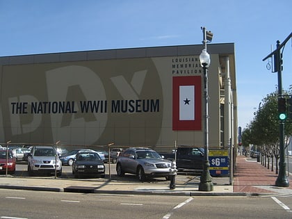
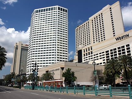
Nearby attractions include: The National WWII Museum, Aquarium of the Americas, One Canal Place, Woldenberg Riverfront Park.
Frequently Asked Questions (FAQ)
Which popular attractions are close to Crescent City Connection?
Nearby attractions include Port of New Orleans, New Orleans (9 min walk), Mardi Gras World, New Orleans (10 min walk), Kern Studios, New Orleans (11 min walk), New Orleans Morial Convention Center, New Orleans (11 min walk).
How to get to Crescent City Connection by public transport?
The nearest stations to Crescent City Connection:
Tram
Tram
- Canal Street • Lines: 2 (23 min walk)
- Harrah's Casino • Lines: 2 (24 min walk)


