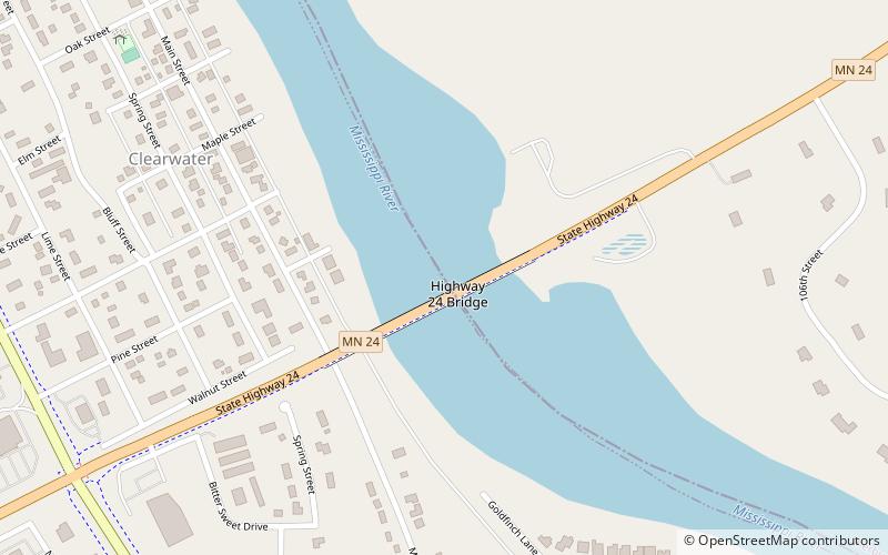
Highway 24 Bridge, Clearwater

Map
Facts and practical information
The old Minnesota Highway 24 Bridge was a steel girder bridge that spanned the Mississippi River between Clearwater, Minnesota and the east bank near Clear Lake, Minnesota. It was designed and built in 1958 by the Minnesota Department of Transportation, opening in 1960 and closing in 2017 when the new Hwy. 24 bridge opened. ()
Opened: 1958 (68 years ago)Coordinates: 45°25'4"N, 94°2'37"W
Day trips
Highway 24 Bridge – popular in the area (distance from the attraction)
Nearby attractions include: First Congregational Church of Clearwater, William W. Webster House.
Frequently Asked Questions (FAQ)
Which popular attractions are close to Highway 24 Bridge?
Nearby attractions include First Congregational Church of Clearwater, Clearwater (10 min walk), William W. Webster House, Clearwater (13 min walk).

