Lower Garden District, New Orleans


Facts and practical information
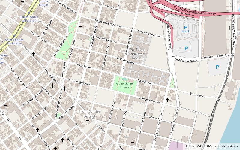
Lower Garden District is a neighborhood of the city of New Orleans. A subdistrict of the Central City/Garden District Area, its boundaries as defined by the New Orleans City Planning Commission are: St. Charles Avenue, Felicity, Prytania, Thalia, Magazine, and Julia Streets to the north; the New Orleans Morial Convention Center, Crescent City Connection, and Mississippi River to the east; Felicity Street, Magazine Street, Constance Street, Jackson Avenue, Chippewa Street, Soraparu Street, and St. Thomas Street to the south; and 1st Street to the west. ()
Central City - Garden District (Lower Garden District)New Orleans
Lower Garden District – popular in the area (distance from the attraction)
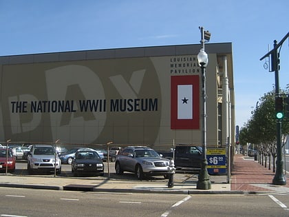
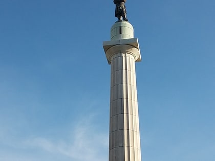
Nearby attractions include: The National WWII Museum, Crescent City Connection, Ogden Museum of Southern Art, Lee Circle.
Frequently Asked Questions (FAQ)
Which popular attractions are close to Lower Garden District?
How to get to Lower Garden District by public transport?
Tram
- Saint Charles at Euterpe • Lines: 12 (12 min walk)
Bus
- New Orleans Union Passenger Terminal (26 min walk)
Train
- New Orleans (26 min walk)


