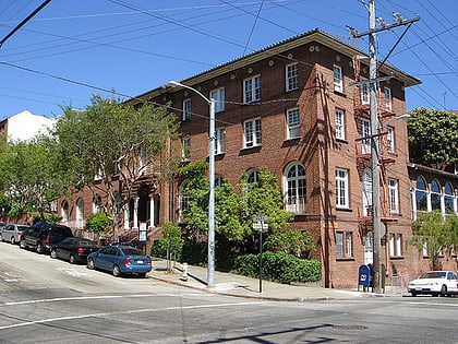
Lower Haight, San Francisco
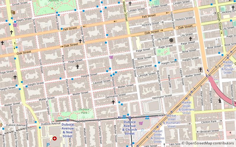
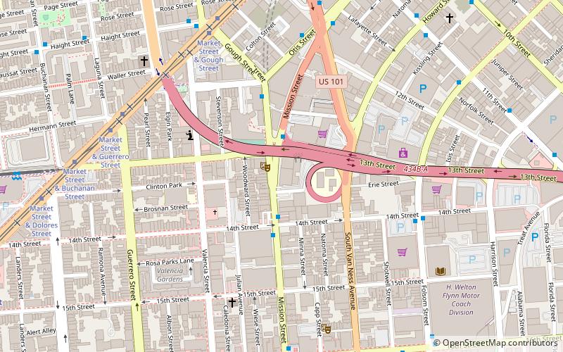
Map
Facts and practical information
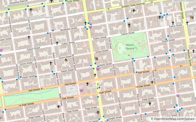
The Lower Haight is a neighborhood, sometimes referred to as Haight–Fillmore, in San Francisco, California. ()
Area: 190.72 acres (0.298 mi²)Coordinates: 37°46'19"N, 122°25'48"W
Day trips
Lower Haight – popular in the area (distance from the attraction)
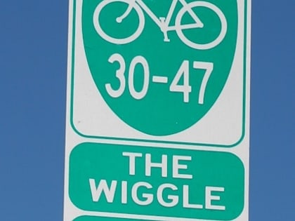
Nearby attractions include: Painted Ladies, Wiggle Bicycles, Alamo Square, Market Street.
Frequently Asked Questions (FAQ)
Which popular attractions are close to Lower Haight?
Nearby attractions include Duboce Park Landmark District, San Francisco (6 min walk), Duboce Park, San Francisco (6 min walk), St. Francis Lutheran Church, San Francisco (7 min walk), San Francisco Zen Center, San Francisco (7 min walk).
How to get to Lower Haight by public transport?
The nearest stations to Lower Haight:
Bus
Trolleybus
Light rail
Tram
Metro
Train
Bus
- Fillmore Street & Haight Street • Lines: N-Owl (1 min walk)
- Haight Street & Fillmore Street • Lines: 7, N-Owl (1 min walk)
Trolleybus
- Fillmore Street & Haight Street • Lines: 22 (1 min walk)
- Hermann Street & Fillmore Street • Lines: 22 (4 min walk)
Light rail
- Duboce Avenue & Church Street • Lines: N (5 min walk)
- Church Street & Duboce Avenue • Lines: J (6 min walk)
Tram
- Market Street & Buchanan Street • Lines: F (7 min walk)
Metro
- 16th Street Mission • Lines: Blue, Green, Red, Yellow (19 min walk)
- Civic Center • Lines: Blue, Green, Red, Yellow (27 min walk)
Train
- Carl Street & Cole Street (30 min walk)
 Muni Metro
