Millers River Watershed Council, Athol

Gallery (1)
Map
Map
Facts and practical information
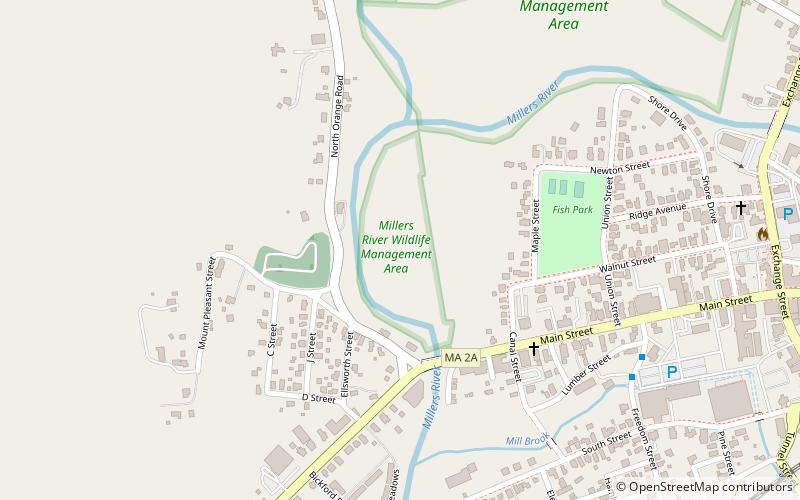
Millers River Watershed Council (address: 100 Main St) is a place located in Athol (Massachusetts state) and belongs to the category of relax in park, park.
It is situated at an altitude of 502 feet, and its geographical coordinates are 42°35'41"N latitude and 72°14'24"W longitude.
Among other places and attractions worth visiting in the area are: Old Town Hall (museum, 29 min walk), Orange (town, 86 min walk), Doane's Falls, Royalston (nature, 106 min walk).
Elevation: 502 ft a.s.l.Coordinates: 42°35'41"N, 72°14'24"W
Day trips


Frequently Asked Questions (FAQ)
When is Millers River Watershed Council open?
Millers River Watershed Council is open:
- Monday closed
- Tuesday closed
- Wednesday closed
- Thursday 10 am - 12 pm
- Friday closed
- Saturday closed
- Sunday closed