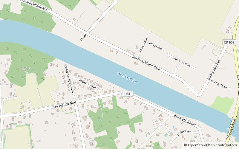
Cape May Canal, Cape May

Gallery (2)
Map
Map
Gallery
Facts and practical information
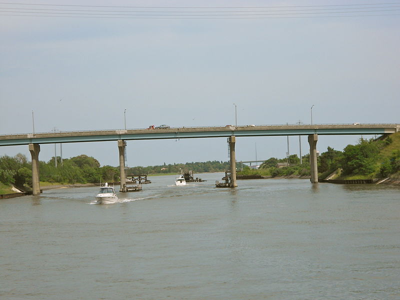
The Cape May Canal is a 2.9-nautical mile waterway connecting Cape May Harbor to the Delaware Bay, at the southern tip of Cape May County, New Jersey. There is a long history of unfulfilled plans for a canal across Cape May. The canal was finally constructed by the United States Army Corps of Engineers during World War II to provide a protected route to avoid German U-boats operating off Cape May Point and to become part of the Intracoastal Waterway. The canal was dredged as a wartime emergency measure in 1942 and was the final link in a protected waterway intended to allow coastal shipping to travel along the coast with a greatly reduced risk of attack from German submarines. ()
Coordinates: 38°57'53"N, 74°55'50"W
Address
Cape May
ContactAdd
Social media
Add
Day trips


