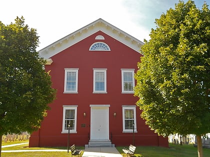
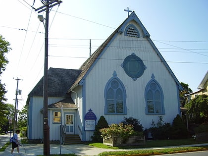
Historic Cold Spring Village, Cape May
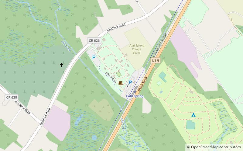
Map
Map

Facts and practical information
Historic Cold Spring Village (address: 720 Route 9) is a place located in Cape May (New Jersey state) and belongs to the category of museum.
It is situated at an altitude of 7 feet, and its geographical coordinates are 38°58'34"N latitude and 74°54'41"W longitude.
Among other places and attractions worth visiting in the area are: Cold Spring Presbyterian Church (church, 7 min walk), Cape May Winery (wine tours, 18 min walk), Cape May Canal (canal, 34 min walk).
Coordinates: 38°58'34"N, 74°54'41"W
Day trips
Historic Cold Spring Village – popular in the area (distance from the attraction)
Nearby attractions include: Naval Air Station Wildwood Aviation Museum, Emlen Physick Estate, Washington Street Mall, Higbee Beach Wildlife Management Area.
Frequently Asked Questions (FAQ)
Which popular attractions are close to Historic Cold Spring Village?
Nearby attractions include Cold Spring Presbyterian Church, Cape May (7 min walk), Cape May Winery, Cape May (18 min walk).


