Savannah Historic District, Savannah
Map
Gallery
Facts and practical information
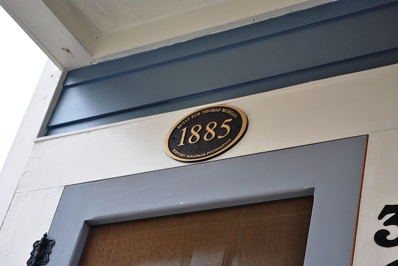
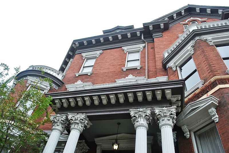
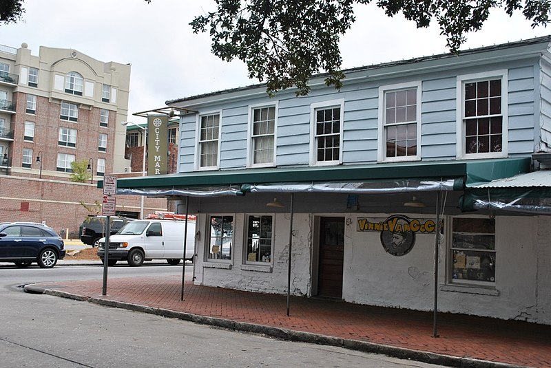
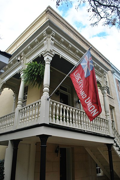
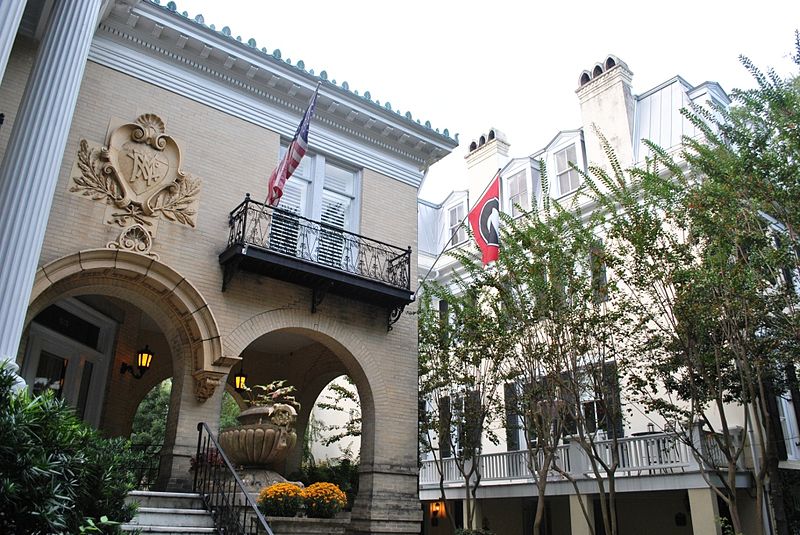
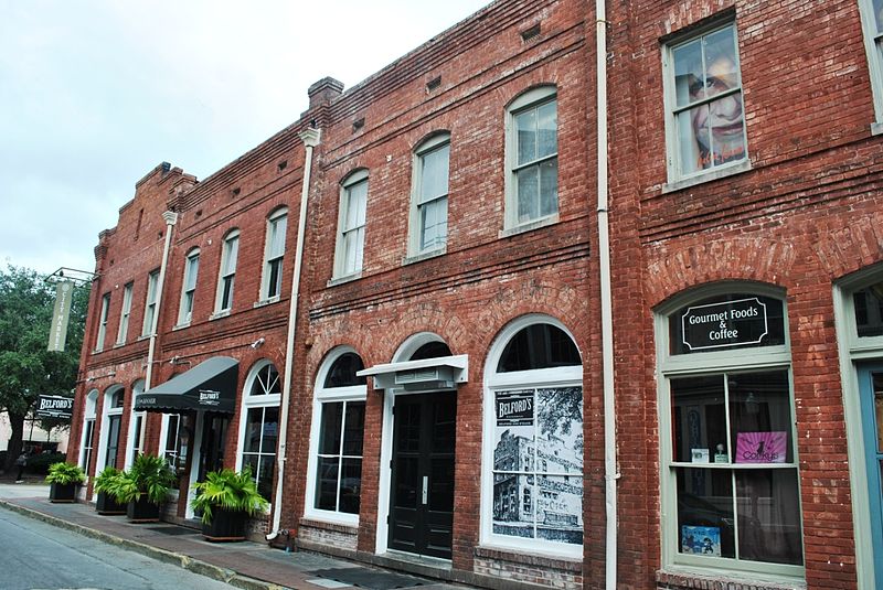
The Savannah Historic District is a large urban U.S. historic district that roughly corresponds to the pre-civil war city limits of Savannah, Georgia. The area was declared a National Historic Landmark District in 1966, and is one of the largest urban, community-wide historic preservation districts in the United States. The district was made in recognition of the Oglethorpe Plan, a unique sort of urban planning begun by James Oglethorpe at the city's founding and propagated for the first century of its growth. ()
Coordinates: 32°4'28"N, 81°5'33"W
Day trips
Savannah Historic District – popular in the area (distance from the attraction)
Nearby attractions include: Lafayette Square, Cathedral of St. John the Baptist, Green-Meldrim House, Madison Square.
Frequently Asked Questions (FAQ)
Which popular attractions are close to Savannah Historic District?
Nearby attractions include Oglethorpe Barracks, Savannah (2 min walk), Sorrel Weed House, Savannah (3 min walk), Savannah Theatre, Savannah (3 min walk), James Oglethorpe Monument, Savannah (3 min walk).
How to get to Savannah Historic District by public transport?
The nearest stations to Savannah Historic District:
Tram
Bus
Tram
- Stop • Lines: Rssc (14 min walk)
Bus
- G • Lines: 17 (14 min walk)
- F • Lines: 29 (14 min walk)


