Buffalo Theatre District, Buffalo
Map

Map

Facts and practical information
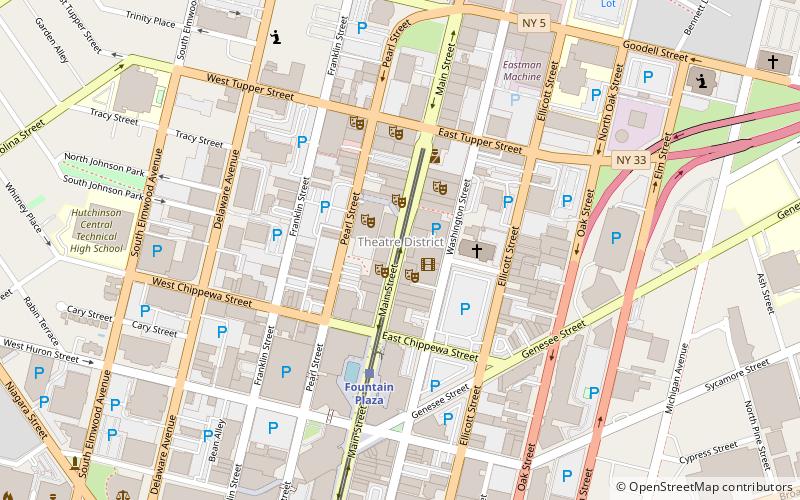
The Buffalo Theatre District in downtown Buffalo, New York, United States, is the center of Buffalo's theater scene and draws Broadway shows that are in preview stage or on tour. It is bounded roughly by Washington, Tupper, Pearl and Chippewa Streets. ()
Coordinates: 42°53'29"N, 78°52'21"W
Day trips
Buffalo Theatre District – popular in the area (distance from the attraction)
Nearby attractions include: Colored Musicians Club, Allentown, Main Place Mall, LECOM Harborcenter.
Frequently Asked Questions (FAQ)
Which popular attractions are close to Buffalo Theatre District?
Nearby attractions include Tralf Music Hall, Buffalo (1 min walk), Shea's Performing Arts Center, Buffalo (2 min walk), 50 Fountain Plaza, Buffalo (3 min walk), Studio Arena Theater, Buffalo (4 min walk).
How to get to Buffalo Theatre District by public transport?
The nearest stations to Buffalo Theatre District:
Light rail
Bus
Train
Light rail
- Fountain Plaza • Lines: Metro (4 min walk)
- Lafayette Square • Lines: Metro (9 min walk)
Bus
- FlixBus Buffalo • Lines: 2686 (14 min walk)
- NFTA Metro Center (15 min walk)
Train
- Buffalo-Exchange Street (23 min walk)


