Rigo Walled Park, Washington D.C.
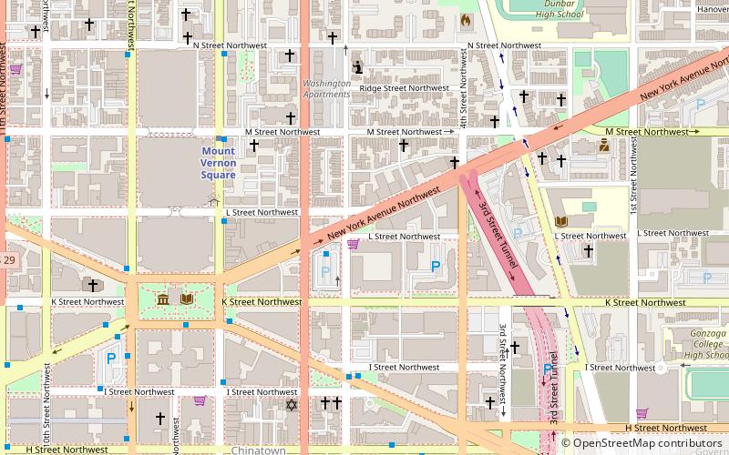
Map
Facts and practical information
Rigo Walled Park is a neighborhood-named urban open space located on National Park Service property south of New York Avenue at L Street, NW in the Mount Vernon Square neighborhood of Washington, D.C. It is administered as part of the National Mall and Memorial Parks. ()
Elevation: 56 ft a.s.l.Coordinates: 38°54'14"N, 77°1'7"W
Address
Northwest Washington (Mount Vernon Square)Washington D.C.
ContactAdd
Social media
Add
Day trips
Rigo Walled Park – popular in the area (distance from the attraction)
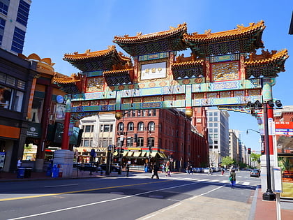
Nearby attractions include: Friendship Archway, H Street, Capital One Arena, Walter E. Washington Convention Center.
Frequently Asked Questions (FAQ)
Which popular attractions are close to Rigo Walled Park?
Nearby attractions include New York Avenue, Washington D.C. (2 min walk), Yale Steam Laundry, Washington D.C. (3 min walk), Mount Vernon Triangle, Washington D.C. (3 min walk), Mount Vernon Triangle Historic District, Washington D.C. (4 min walk).
How to get to Rigo Walled Park by public transport?
The nearest stations to Rigo Walled Park:
Metro
Bus
Train
Tram
Metro
- Mount Vernon Square • Lines: Gr, Yl (6 min walk)
- Gallery Place • Lines: Gr, Rd, Yl (11 min walk)
Bus
- BoltBus (19 min walk)
- Megabus (19 min walk)
Train
- Washington Union Station (20 min walk)
- Russell (26 min walk)
Tram
- Union Station • Lines: H Street/Benning Road Streetcar (21 min walk)
- H Street & 5th Street Northeast • Lines: H Street/Benning Road Streetcar (27 min walk)
