West Gervais Street Historic District, Columbia
Map
Facts and practical information
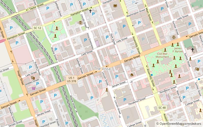
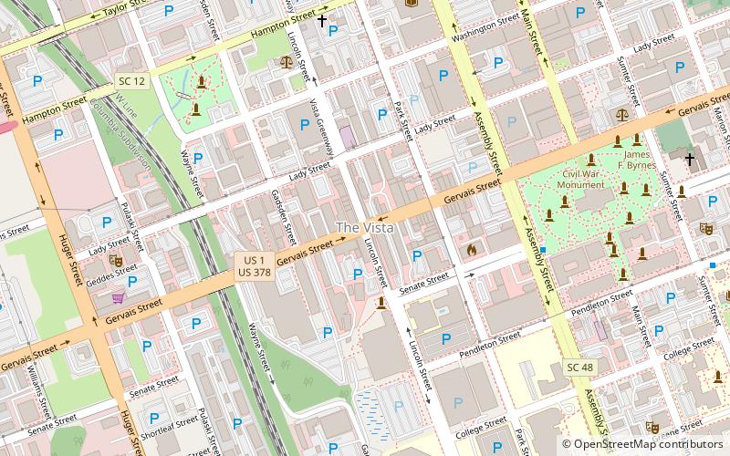
West Gervais Street Historic District is a national historic district located at Columbia, South Carolina. The district encompasses 40 contributing buildings in a commercial, warehouse, and light industrial section of Columbia. They date from about 1846 to the 1930s. Notable buildings include the W. H. Gibbes Machinery Co. and Carriage Works, Seaboard Air Line Railroad Passenger Depot, and Seaboard Air Line Railroad Baggage Room. ()
Coordinates: 34°0'0"N, 81°2'19"W
Address
Downtown Columbia (The Congaree Vista)Columbia
ContactAdd
Social media
Add
Getting there by public transportation
Public transportation stops near this location
- Train
 Train
Train
- Calculate routeColumbia 11 min walk
Day trips
West Gervais Street Historic District – popular in the area (distance from the attraction)
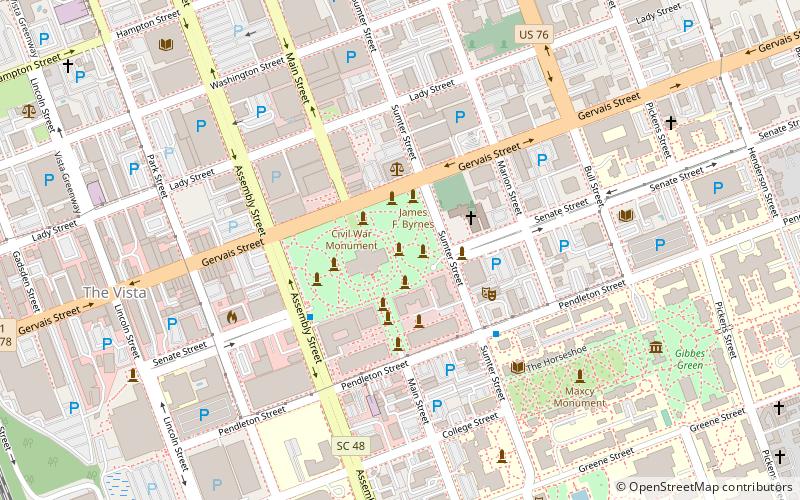
Nearby attractions include: Colonial Life Arena, Eugene E. Stone III Stadium, South Carolina State House, Trinity Episcopal Cathedral.


Frequently Asked Questions (FAQ)
Which popular attractions are close to West Gervais Street Historic District?
Nearby attractions include The Vista, Columbia (1 min walk), If Art Gallery, Columbia (2 min walk), City Art, Columbia (2 min walk), Columbia Metropolitan Convention Center, Columbia (5 min walk).
How to get to West Gervais Street Historic District by public transport?
The nearest stations to West Gervais Street Historic District:
Train
Train
- Columbia (11 min walk)