Bridgeton, Portland

Map
Facts and practical information
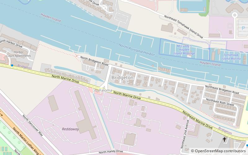
Bridgeton is a compact neighborhood of detached houses, rowhouses, apartment and condominium complexes, and houseboats in the north and northeast sections of Portland, Oregon. It occupies a narrow strip of land around a levee between the Columbia River and Bridgeton Slough. ()
Coordinates: 45°36'9"N, 122°40'5"W
Day trips
Bridgeton – popular in the area (distance from the attraction)
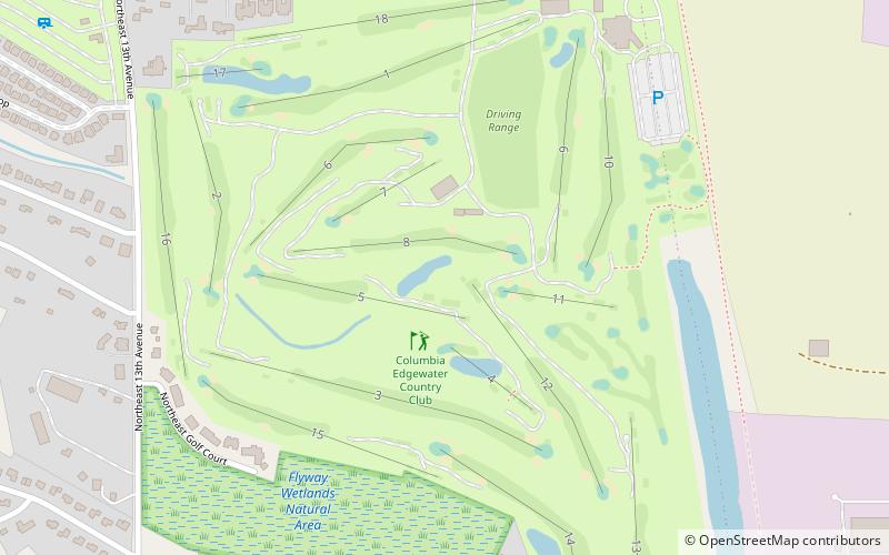
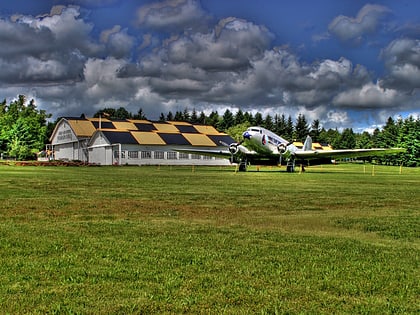
Nearby attractions include: Portland Meadows, Portland Expo Center, Jantzen Beach Center, Columbia Edgewater Country Club.
Frequently Asked Questions (FAQ)
Which popular attractions are close to Bridgeton?
Nearby attractions include Salpare Bay Marina, Portland (13 min walk), East Columbia, Portland (16 min walk), Delta Park, Portland (17 min walk), Interstate Bridge, Portland (20 min walk).
How to get to Bridgeton by public transport?
The nearest stations to Bridgeton:
Bus
Light rail
Bus
- North Marine & Gantenbein • Lines: 11 (3 min walk)
- North Vancouver Way & Jubitz • Lines: 6 (10 min walk)
Light rail
- Expo Center • Lines: Yellow (23 min walk)
- Delta Park/Vanport • Lines: Yellow (25 min walk)


