McIntire Amphitheatre, Charlottesville
Map
Map

Facts and practical information
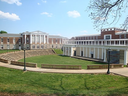
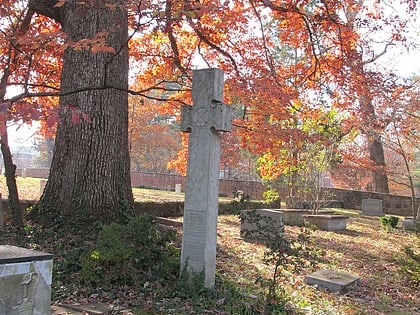
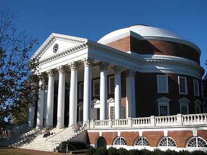
The McIntire Amphitheatre is a Greek-style outdoor theater at the University of Virginia. Established in 1921 with a $120,000 gift from benefactor and University alum Paul Goodloe McIntire, it is now used for a variety of outdoor gatherings including concerts, speakers, and other events. ()
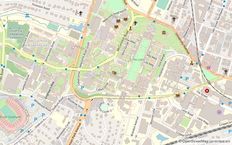
Coordinates: 38°2'1"N, 78°30'21"W
Day trips
McIntire Amphitheatre – popular in the area (distance from the attraction)
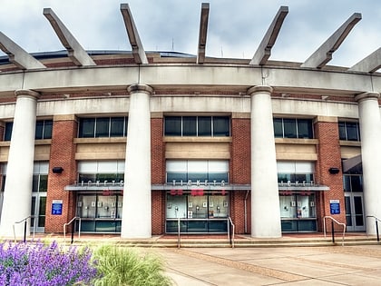
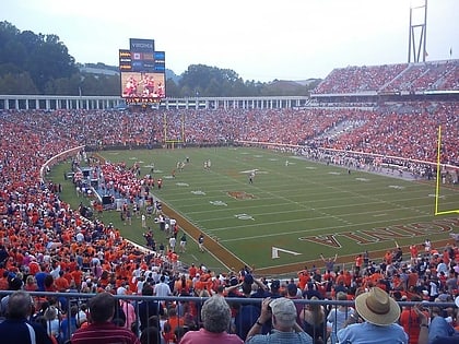
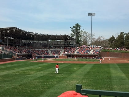
Nearby attractions include: Statue of Thomas Jefferson, John Paul Jones Arena, Scott Stadium, Davenport Field at Disharoon Park.
Frequently Asked Questions (FAQ)
Which popular attractions are close to McIntire Amphitheatre?
Nearby attractions include University of Virginia College of Arts and Sciences, Charlottesville (3 min walk), The Lawn, Charlottesville (4 min walk), Brown College at Monroe Hill, Charlottesville (4 min walk), Oakhurst–Gildersleeve Neighborhood Historic District, Charlottesville (4 min walk).
How to get to McIntire Amphitheatre by public transport?
The nearest stations to McIntire Amphitheatre:
Bus
Train
Bus
- Jefferson Park Ave @ Cabell Hall • Lines: Or, T (4 min walk)
- Jefferson Park Ave @ Brandon Ave • Lines: Or (5 min walk)
Train
- Charlottesville (20 min walk)
