The Corner, Charlottesville
Map
Map

Facts and practical information
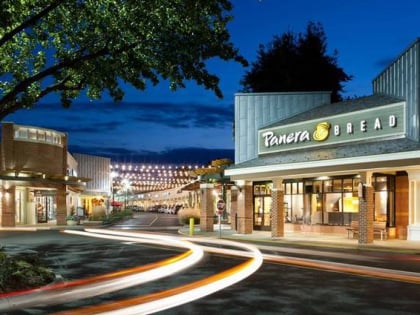
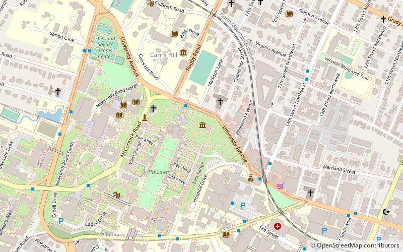
The Corner is a seven-block collection of bars, restaurants, bookstores, and night spots on University Avenue in Charlottesville, Virginia, extending from 121⁄2 Street Southwest to Chancellor Street. located across the street from the University of Virginia. It is bounded by Graduate Charlottesville on the east and Bank of America on the west. ()
Coordinates: 38°2'9"N, 78°30'8"W
Day trips
The Corner – popular in the area (distance from the attraction)
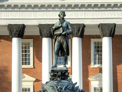
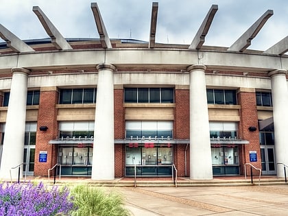
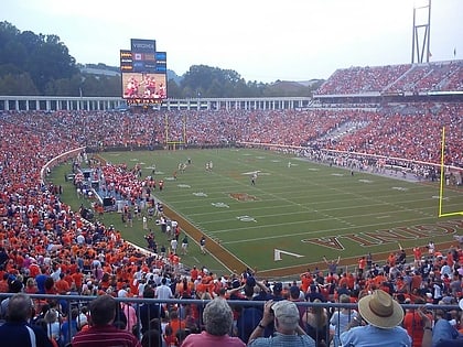
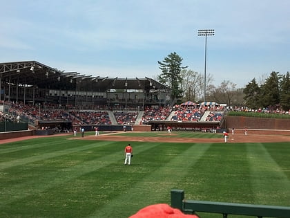
Nearby attractions include: Statue of Thomas Jefferson, John Paul Jones Arena, Scott Stadium, Davenport Field at Disharoon Park.
Frequently Asked Questions (FAQ)
Which popular attractions are close to The Corner?
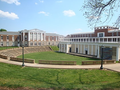
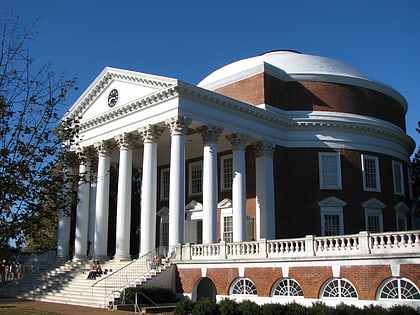
Nearby attractions include Statue of Thomas Jefferson, Charlottesville (2 min walk), The Rotunda, Charlottesville (2 min walk), The Lawn, Charlottesville (4 min walk), Anderson Brothers Building, Charlottesville (4 min walk).
How to get to The Corner by public transport?
The nearest stations to The Corner:
Bus
Train
Bus
- 14th Street @ Wertland St • Lines: Or (5 min walk)
- JPA at the UVA Hospital • Lines: 4, Or, T (7 min walk)
Train
- Charlottesville (17 min walk)

