Scribner Covered Bridge, Johnson
Map

Map

Facts and practical information
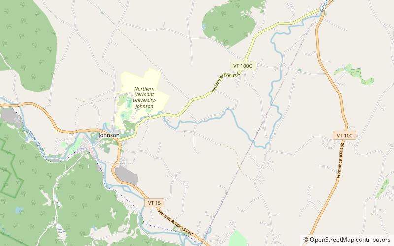
The Scribner Covered Bridge, also known as the Mudgett Covered Bridge, is a covered bridge that carries Rocky Road across the Gihon River off State Route 100C in eastern Johnson, Vermont. It was listed on the National Register of Historic Places in 1974. It is one of a small number of Vermont's covered bridges that are the result of covering an existing open bridge. ()
Length: 48 ftWidth: 12 ftCoordinates: 44°38'18"N, 72°38'55"W
Address
Johnson
ContactAdd
Social media
Add
Day trips
Scribner Covered Bridge – popular in the area (distance from the attraction)
Nearby attractions include: Power House Covered Bridge, Lamoille County Players, Copley Country Club, Bridge 6.


