Power House Covered Bridge, Johnson
Map

Map

Facts and practical information
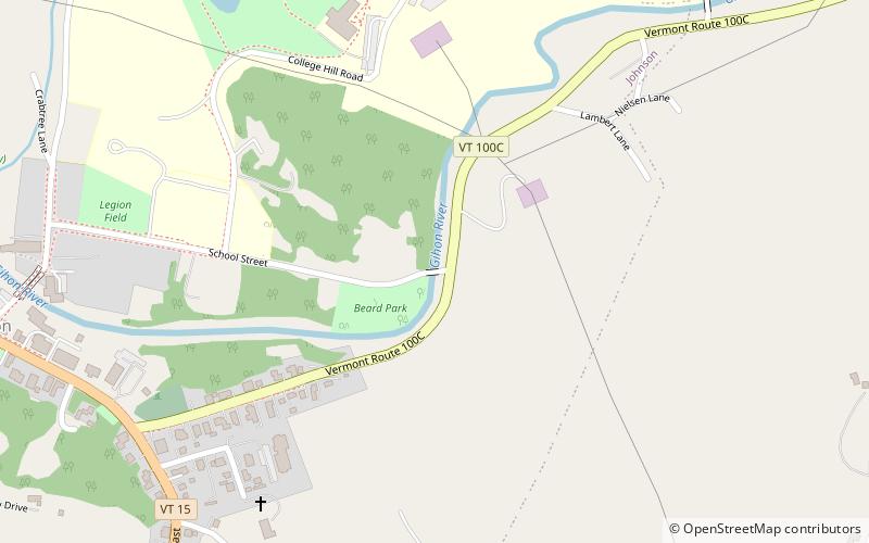
The Power House Covered Bridge, also known as the School Street Covered Bridge, is a covered bridge from 1872 that crosses the Gihon River off State Route 100C in Johnson, Vermont, US. It was listed on the National Register of Historic Places in 1974. The bridge's name is from a now obsolete hydroelectric generating station just upstream from it. The bridge is of Queen post truss design by an unknown builder. ()
Completed: 1870 (156 years ago)Length: 63 ftWidth: 14 ftCoordinates: 44°38'10"N, 72°40'13"W
Day trips
Power House Covered Bridge – popular in the area (distance from the attraction)
Nearby attractions include: Scribner Covered Bridge, Lamoille County Players, Copley Country Club, Bridge 6.
Frequently Asked Questions (FAQ)
Which popular attractions are close to Power House Covered Bridge?
Nearby attractions include Johnson State College, Johnson (10 min walk), Bridge 6, Johnson (19 min walk).


