Charter Oak Bridge, Hartford
Map

Gallery

Facts and practical information
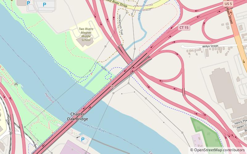
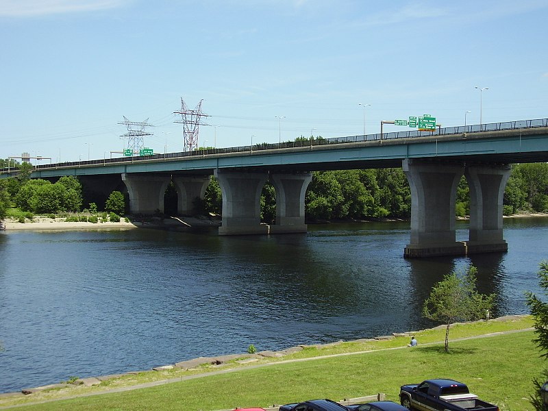
The Charter Oak Bridge is one of the three highway bridges over the Connecticut River in Hartford, Connecticut. The twin steel stringer bridge carries the Wilbur Cross Highway over the river, connecting downtown Hartford with East Hartford. ()
Opened: 1991 (35 years ago)Coordinates: 41°45'18"N, 72°39'4"W
Address
Hartford
ContactAdd
Social media
Add
Day trips
Charter Oak Bridge – popular in the area (distance from the attraction)
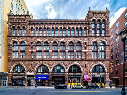
Nearby attractions include: Wadsworth Atheneum, Dunkin' Donuts Park, Connecticut Science Center, Cheney Building.
Frequently Asked Questions (FAQ)
Which popular attractions are close to Charter Oak Bridge?
Nearby attractions include Colt Armory, Hartford (18 min walk), Great River Park, Hartford (19 min walk), Garvan-Carroll Historic District, Hartford (22 min walk), Colt Park, Hartford (24 min walk).
How to get to Charter Oak Bridge by public transport?
The nearest stations to Charter Oak Bridge:
Bus
Bus
- Hartford Megabus (35 min walk)


