Chouteau Bridge, Kansas City

Map
Facts and practical information
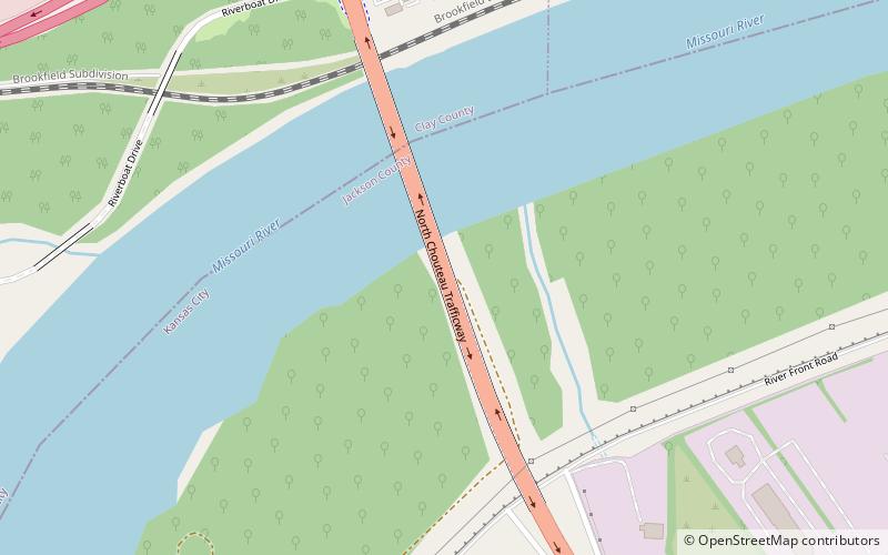
The Chouteau Bridge a four-lane girder bridge on Route 269 across the Missouri River between Jackson County, Missouri, and Clay County, Missouri. The bridge is named for Francois Chouteau, who was a member of the Chouteau fur trapping family and is considered the first permanent settler in Kansas City. ()
Opened: 2002 (24 years ago)Coordinates: 39°8'39"N, 94°31'60"W
Address
Northeast Kansas City (East Bottoms)Kansas City
ContactAdd
Social media
Add
Day trips
Chouteau Bridge – popular in the area (distance from the attraction)
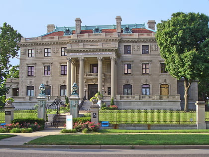
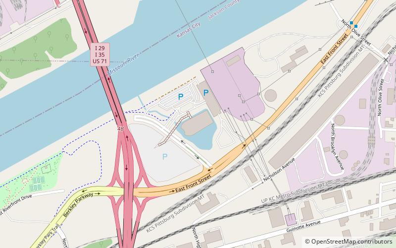
Nearby attractions include: City Museum, Patriot, Ameristar Casino Kansas City, Bally's.
Frequently Asked Questions (FAQ)
How to get to Chouteau Bridge by public transport?
The nearest stations to Chouteau Bridge:
Bus
Bus
- Front at Chouteau • Lines: 11 (29 min walk)
- Topping at Connecticut • Lines: 11 (34 min walk)


