Christopher S. Bond Bridge, Kansas City

Gallery (2)
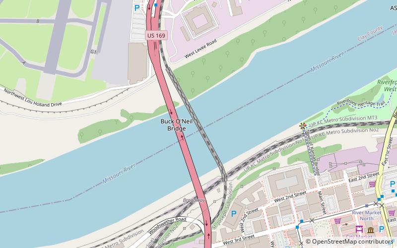
Map
Map
Gallery
Facts and practical information
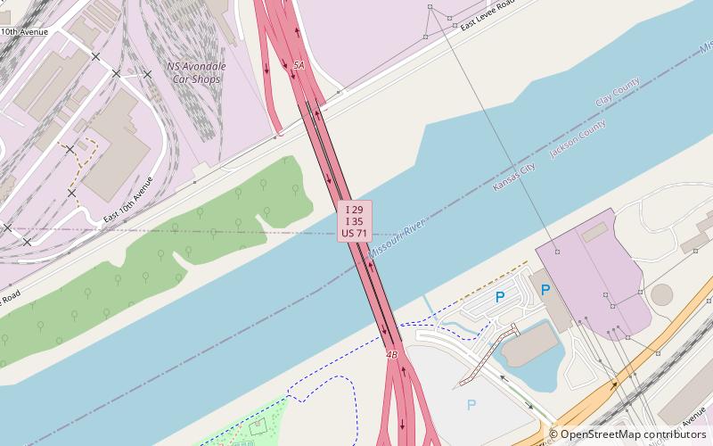
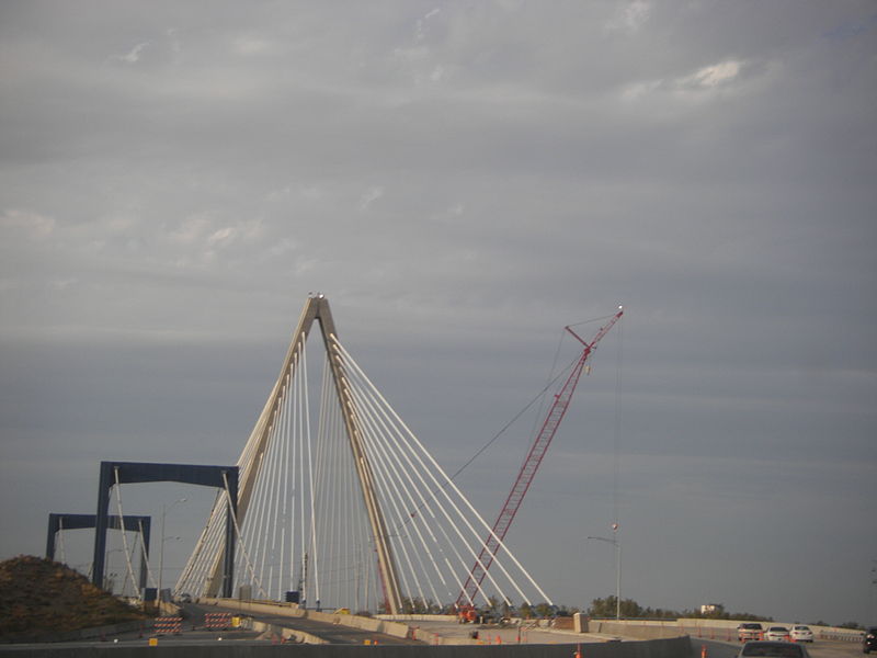
The Christopher S. Bond Bridge in Kansas City, Missouri is a cable-stayed bridge across the Missouri River. It carries I-29/I-35/US 71. The bridge opened to limited traffic on September 27, 2010 and all lanes opened on December 18, 2010. The Bond bridge is a replacement for the Paseo Bridge. ()
Coordinates: 39°7'24"N, 94°33'57"W
Address
Northland (North Kansas City)Kansas City
ContactAdd
Social media
Add
Getting there by public transportation
Public transportation stops near this location
- Bus
- Tram
 Bus
Bus
- Calculate routeLexington at Garfield 25 min walk
- Calculate routeWoodland at Missouri 27 min walk
- Calculate routeIndependence at Virginia 29 min walk
- Calculate routeRiver Market North 32 min walk
- Calculate routeCity Market 35 min walk
Day trips


Frequently Asked Questions (FAQ)
Which popular attractions are close to Christopher S. Bond Bridge?
Nearby attractions include Casino KC, Kansas City (7 min walk), Bally's, Kansas City (8 min walk), North Kansas City, Kansas City (13 min walk), Heart of America Bridge, Kansas City (22 min walk).
How to get to Christopher S. Bond Bridge by public transport?
The nearest stations to Christopher S. Bond Bridge:
Bus
Tram
Bus
- Lexington at Garfield • Lines: 11 (25 min walk)
- Woodland at Missouri • Lines: 11 (27 min walk)
Tram
- River Market North • Lines: 601 (32 min walk)
- City Market • Lines: 601 (35 min walk)